
1. Define the landscape you want
Glacier, lac, alpage, forêt, village ou panorama d’altitude : le sujet recherché réduit immédiatement le nombre de massifs pertinents.
Choisir une destination photo dans les Alpes ne consiste pas seulement à sélectionner un sommet connu. Le massif, l’orientation, la saison, la présence d’un lac, d’un glacier, d’une forêt ou d’un village déterminent l’image que vous pourrez réellement construire.
Ce hub rassemble douze grands guides de destination. Chacun compare les secteurs du territoire et conduit vers des guides locaux lorsque ceux-ci sont disponibles afin de préparer plus précisément un spot. Les conditions d’accès, la météo et les réglementations locales doivent toujours être vérifiées avant une sortie.
À partir de l’expérience terrain de Pierre Thiaville, photographe de montagne depuis 2017, les guides couvrent des massifs emblématiques, lacs d’altitude, glaciers, vallées sauvages et points de vue spectaculaires, avec des conseils sur les saisons, les lumières, les accès, les ambiances et les compositions à rechercher sur le terrain.
Ils complètent les techniques de photographie de montagne et permettent aussi de relier un massif aux paysages proposés dans la galerie de tableaux photo des Alpes, fabriqués à la commande sur aluminium Dibond mat.
Les requêtes les plus utiles ne commencent pas toujours par un nom de massif. Partir du paysage recherché, de la lumière et de l’accès permet de choisir un territoire plus cohérent avant d’entrer dans le détail d’un spot.
Glacier, lac, alpage, forêt, village ou panorama d’altitude : le sujet recherché réduit immédiatement le nombre de massifs pertinents.
Un même lieu change selon l’orientation du relief, l’heure, la saison et la météo. Préparez la lumière avant de choisir un point de vue précis.
Trails, lifts, snow cover, roads and local regulations can change the plan. Always check local conditions before setting out.
Repérez un sujet principal, un premier plan possible et un secteur alternatif pour ne pas dépendre d’un seul cadrage ou d’une seule météo.
From the glaciated high mountains of Mont-Blanc to the cliffs and forests of Chartreuse and Vercors, these eight guides cover very different landscapes. Each card links to the main guide for the area, which then organises the sectors and viewpoints worth exploring in more detail.

Compare where to photograph Mont Blanc itself, then explore Chamonix, the Mer de Glace, the Aiguille du Midi and the massif's other major landscapes.
Explore the mountain range guide
Lac Blanc, Brévent, Lacs Noirs, Aiguillette des Houches or Vallon de Bérard: compare 5 photo projects by landscape, access and conditions.
Explore the mountain range guide
In the Aravis, four geometries structure the choice: isolated silhouette, inhabited valley, cross-sectional combes or a summit connected to its lake. Choose the one that should dominate.
Explore the mountain range guide
In the Beaufortain, three projects change the hierarchy: Roselend for depth, Presset for the lake–refuge–summit trio, Saint-Guérin for the geometry of the dam.
Explore the mountain range guide
Grande Casse, Dent Parrachée, Refuge de la Valette, Lac des Vaches, Évettes, Avérole and Orgère: compare 7 photographic subjects in Vanoise.
Explore the mountain range guide
Field guide to choosing between Crozet–Doménon, Chamrousse, Sept Laux and Lac Blanc–Grand Pic according to the photographic subject and the level of commitment you want.
Explore the mountain range guide
Chamechaude, Dent de Crolles, Mont Granier or Saint-Même: compare four Chartreuse landscapes and choose the right photography guide.
Explore the mountain range guide
Compare five Vercors sectors — Mont Aiguille, Grand Veymont, northern Vercors, Combe Laval, Font d’Urle and Ambel — by the image and terrain you are looking for.
Explore the mountain range guideThese destinations bring together the high panoramas of the Grandes Rousses, the glaciers and deep valleys of the Écrins, and the mountain passes, villages and larches of Queyras.

Discover where to photograph Alpe d'Huez and Les Grandes Rousses with two detailed guides on Pic Blanc, panoramas, Lacs Besson and Noir, and Col de Sarenne.
Explore the mountain range guide
Meije, Barre des Écrins, Glacier Blanc, Pelvoux, Lauvitel, Valgaudemar or Vénéon: compare seven major subjects and choose what you want to photograph in the massif.
Explore the mountain range guide
The Queyras changes visual language between the Izoard, the Ceillac lakes, Saint-Véran and Col Agnel. Choose the subject before the spot.
Explore the mountain range guideLe guide des Alpes suisses sert de point d’entrée vers plusieurs territoires, notamment le Valais et l’Oberland bernois. Il compare glaciers, sommets, vallées, lacs et villages avant de renvoyer vers les guides locaux disponibles.

Compare three photography projects in the Swiss Alps: the Matterhorn silhouette, glacial landscapes of Valais and inhabited valleys of the Bernese Oberland.
Explore the mountain range guideLe meilleur massif dépend moins de sa notoriété que du type d’image que vous souhaitez construire. Utilisez ces familles pour réduire rapidement les options.
Privilégiez le Mont-Blanc, les Écrins, la Vanoise ou les Alpes suisses pour les séracs, grandes faces, moraines et panoramas d’altitude.
The Aiguilles Rouges, Beaufortain, Belledonne and Vanoise offer many compositions combining water, foregrounds and mountain relief.
Les Aravis, le Beaufortain et le Queyras associent reliefs, chalets, alpages, routes de col et traces d’occupation humaine.
Chartreuse and Vercors are the most consistent choices for large cliffs, forest interiors, mist and plateaus.
L’Alpe d’Huez et les Grandes Rousses, certains secteurs du Mont-Blanc et plusieurs sites suisses permettent d’atteindre des points de vue élevés. L’accès reste variable selon la saison, les remontées et les conditions.
Queyras, the Aravis, Beaufortain, Vanoise and some Swiss valleys are especially rewarding when golden larches, alpine meadows and the first snow come together.
The guides help compare subjects, orientations and seasons. They do not replace checking the actual conditions before setting out.
Go further with the mountain photography technique guides: exposure, sharpness, composition, light and specialised situations are grouped in the Mountain photography techniques hub.
Move from the mountain range to a landscape type, a photography technique or directly to the gallery depending on your goal.
Les nouveaux guides rattachés à cette rubrique apparaissent ici tant qu’ils n’ont pas encore été intégrés à l’un des grands ensembles éditoriaux.
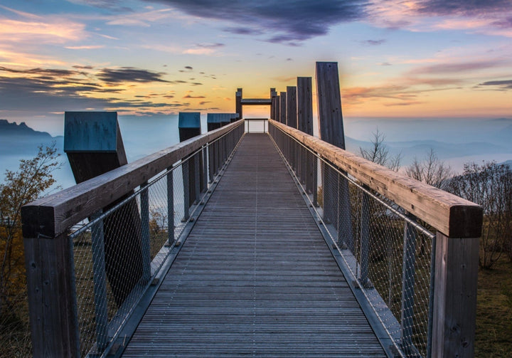
Mount Revard and Lake Bourget: create an image of depth from the western edge of the Bauges, without turning the panorama into...
Explore the mountain range guidePhotographing the Vénéon from the river, the rock faces, the hamlets, and the progression towards the high mountains, without losing sight of...
Explore the mountain range guide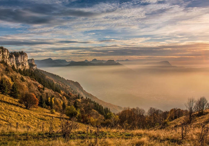
Nivolet Cross: keep the monument as an anchor point while using the cornice and surrounding relief to give scale and depth to...
Explore the mountain range guide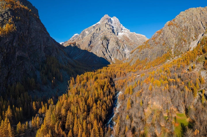
Photographing Mont Pelvoux: choose the right distance between the mountain's large mass, the landscapes of Vallouise, the larch trees, and the high...
Explore the mountain range guideLac Cornu or Lacs Noirs: prepare a glacial lake and mineral terrain project depending on snow cover, access, and level of commitment.
Explore the mountain range guideIn L'Orgère, the forest acts as a threshold: tree trunks, forest edges, and clearings gradually open up the view towards the valley...
Explore the mountain range guideThe Cirque des Évettes is built in depth: walls, moraines, and water must form a coherent basin rather than a succession of...
Explore the mountain range guideIn the Avérole valley, the gaze should wander from the hamlets and meadows to the torrent and then to the rocky depths,...
Explore the mountain range guideField guide to photographing the relationship between Lac Blanc and the Grand Pic de Belledonne, without confusing a photo hike with mountaineering.
Explore the mountain range guideField guide to photographing the Sept Laux as an ensemble of lakes, rock slabs, hydroelectric structures and ridges.
Explore the mountain range guide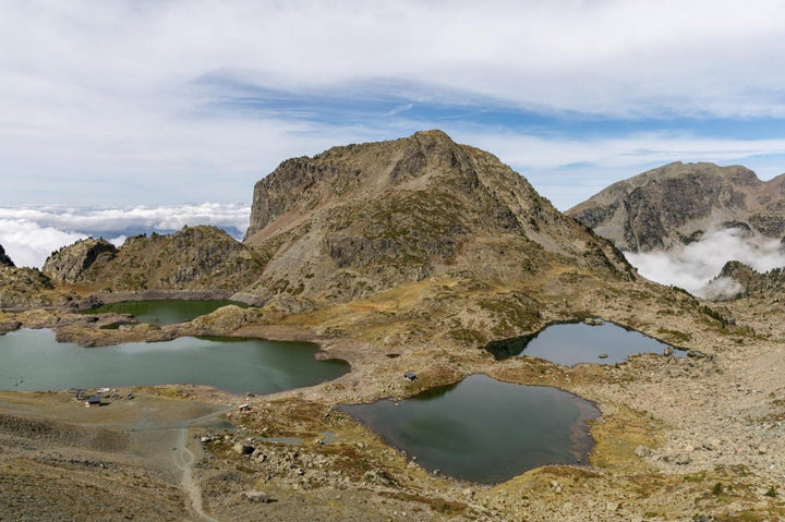
Field guide to photographing Lacs Robert and Lac Achard at Chamrousse, two complementary atmospheres with distinct regulations.
Explore the mountain range guide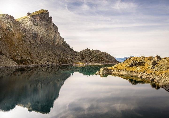
Field guide to photographing Lac du Crozet and the Doménon lakes, distinguishing the two subjects and La Pra’s role as a terrain...
Explore the mountain range guideField guide to photographing Mont Charvin and Lac du Charvin, from the approaches around Manigod to the high-altitude cirque.
Explore the mountain range guide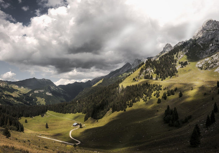
Field guide to compare and photograph the Aravis combes around Confins, Paccaly and Tardevant.
Explore the mountain range guideField guide to photographing the Doran valley: alpine pasture, chalets, chapel, refuge and surrounding reliefs.
Explore the mountain range guide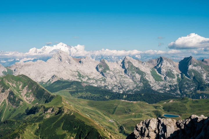
Field guide to photographing Pointe Percée from the Bouchet valley, Col des Annes, the approach ridges and Gramusset.
Explore the mountain range guidePhotograph Font d'Urle and Ambel: karst, vast Alpine pastures, Gagères, Tubanet connection, forest edges, and ridges, with regulations to be verified.
Explore the mountain range guide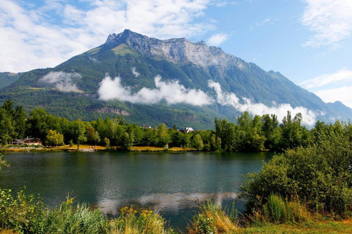
Dent d'Arclusaz: choose between a complete silhouette, the structure of the syncline, and its relationship to the foothills, with Lake Carouge as...
Explore the mountain range guide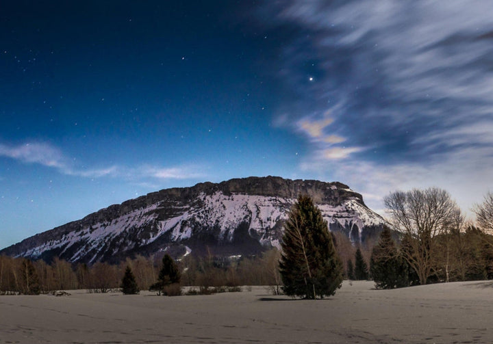
At Margériaz, the subject is the karstic relief: the soil material, its relationship to the ridges, and the forest–alpine pasture–limestone transitions, with...
Explore the mountain range guide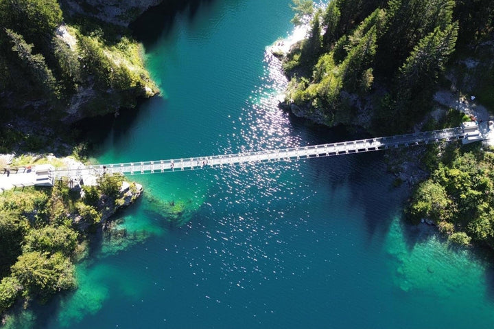
A guide to the Saint-Guérin sector for reading the lake, the dam, the shores and the footbridge, choosing your framing and preparing...
Explore the mountain range guide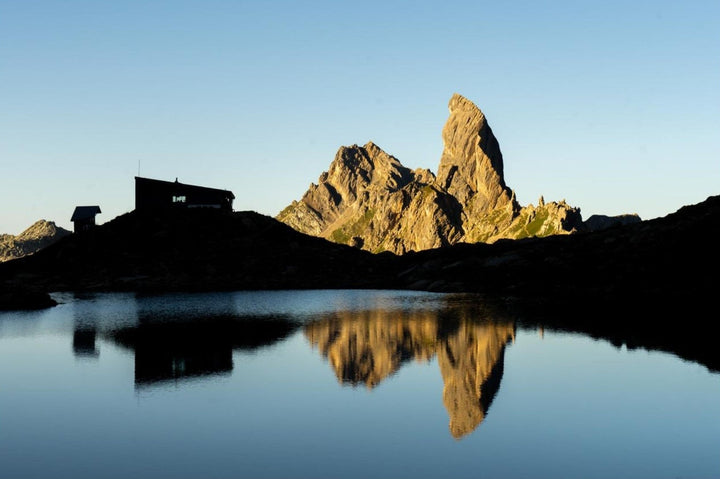
A guide to the Presset sector to build an image between the lake, the refuge and the Pierra Menta, compare official access...
Explore the mountain range guide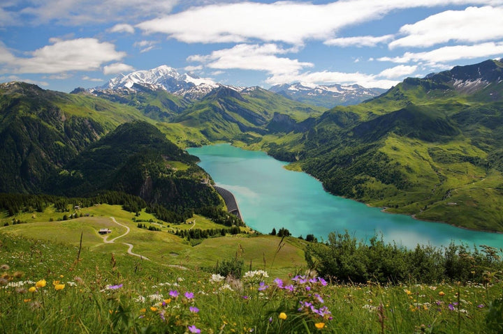
Field guide for photographing the Roselend sector: Roche Parstire, Col du Pré, Grande Berge, dam, chapel and Cormet, with framing cues and...
Explore the mountain range guide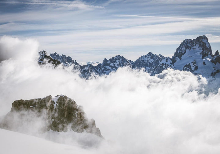
From inhabited Valgaudemar to the peaks of Sirac and Rouies: choose the scale, simplify the layers, and keep the valley visible in...
Explore the mountain range guide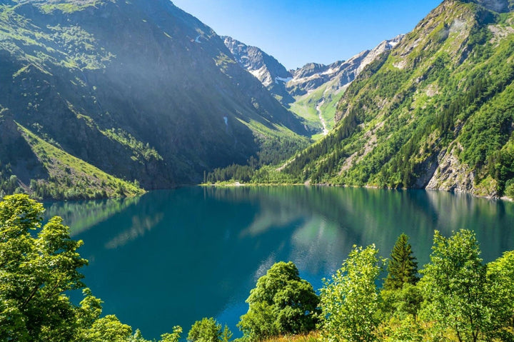
Photographing Lac du Lauvitel: give water the leading role, use the shore, rocks, and relief to compose the shots, with or without...
Explore the mountain range guide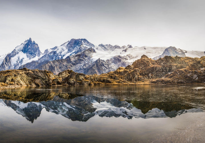
Photographing the Emparis Plateau through its alpine pastures, its lakes, and its views towards La Meije: depth, conditional reflections, and composition.
Explore the mountain range guide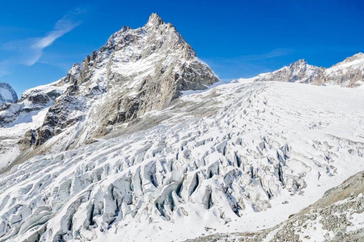
Photographing the Glacier Blanc: choose between a general view, rock-ice transitions, and details of fractures, then adapt your framing to the terrain...
Explore the mountain range guide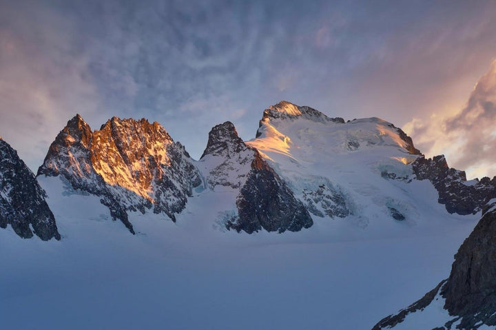
Photographing the Barre des Écrins: making the summit legible among the ridges, composing with the Glacier Blanc, and utilizing the mineral planes...
Explore the mountain range guide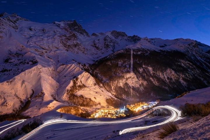
Photographing La Meije from La Grave and its surroundings: choose the right distance between a close-up of the face, an inhabited landscape,...
Explore the mountain range guide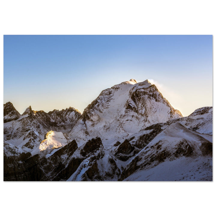
Photograph the Grande Casse as a dominant mass: preserve the continuity of the face, then use a refuge, ridge or terrain fold...
Explore the mountain range guide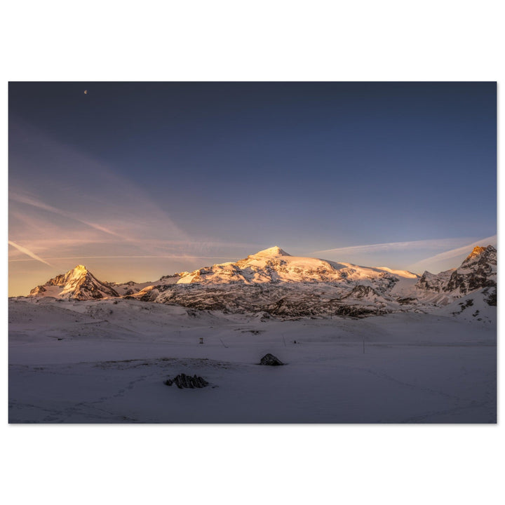
The Dent Parrachée gains tension when its point remains clear above a calm foreground: water, alpine pasture or layered relief provides scale.
Explore the mountain range guide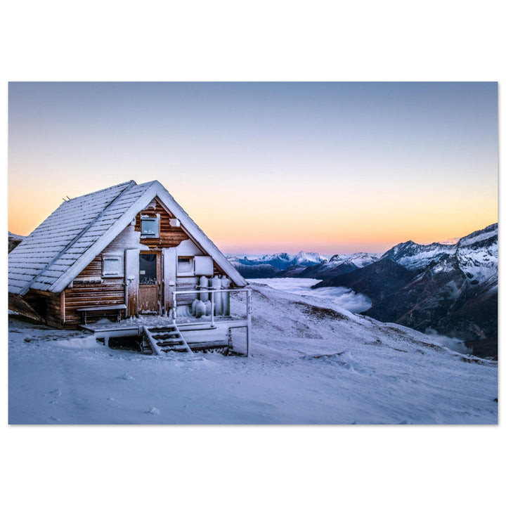
At Refuge de la Valette, the huts should remain readable while appearing small against the relief: architecture, isolation, snow and visibility structure...
Explore the mountain range guide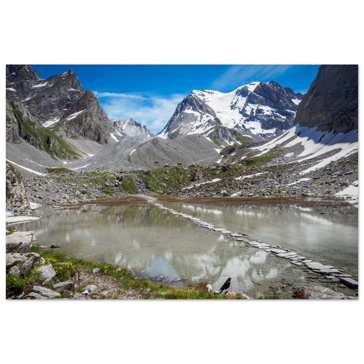
At Lac des Vaches, the line of stepping stones organizes the water and leads towards the Grande Casse. A frontal axis, side...
Explore the mountain range guide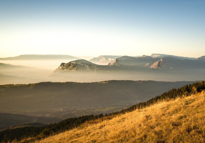
Mont Revard, Croix du Nivolet, Margériaz, Dent d’Arclusaz, Hautes-Bauges and other major landscapes: choose your photography project in the Bauges.
Explore the mountain range guide
From Lac Besson to Sarenne, the image moves from a broad water surface to a tighter basin, then to a road opening...
Explore the mountain range guide
From Pic Blanc, a nearby ridge should organize the plunge before the Écrins: rock, valleys and successive ranges make depth readable.
Explore the mountain range guide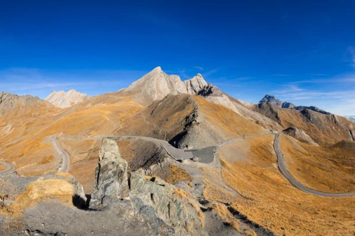
How to photograph Col Agnel and Pain de Sucre: road, refuge, valley, summit, light, conditions and access.
Explore the mountain range guide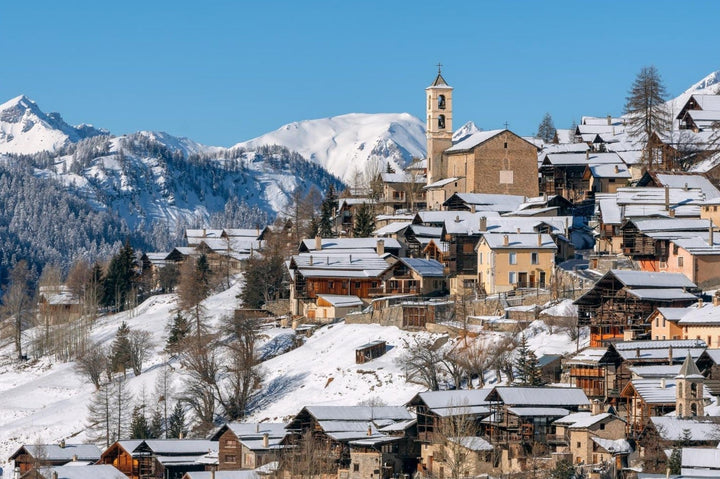
How to photograph Saint-Véran and the Chapel of Clausis: village, snow, buildings, valley, framing, light and access.
Explore the mountain range guide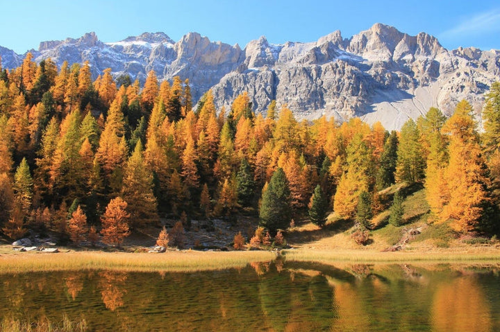
How to photograph Lac Miroir and Lac Sainte-Anne at Ceillac: reflections, larches, Font Sancte, framing, conditions and access.
Explore the mountain range guide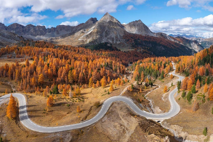
How to photograph the Izoard: Casse Déserte, hairpins through the larches, Lac de Souliers, Rochebrune, light and access.
Explore the mountain range guide
Where to Photograph the Bernese Oberland: Grindelwald, Eiger, Bachalpsee, Kleine Scheidegg, Wengen, Lauterbrunnen, Mürren, and Oeschinensee.
Explore the mountain range guide
Where to photograph Valais outside Zermatt: Aletsch Glacier, Saastal, Verbier, Val de Bagnes, Grand Combin, light, access and field tips.
Explore the mountain range guide
Where to photograph Zermatt, the Matterhorn, and Gornergrat: village, Riffelsee, Stellisee, train, light, focal lengths, access, and field tips.
Explore the mountain range guideIn the Vallon de Bérard, the series moves from the waterfall to the forest torrent and then to more open ground, with...
Explore the mountain range guideChailloux alpine pastures, the Aiguillette ridge and Carlaveyron wetlands: choose your sequence according to terrain, snow and commitment.
Explore the mountain range guideChoose between Planpraz, Brévent and Lac du Brévent according to the landscape, access, lifts and mountain conditions.
Explore the mountain range guideLes Aiguilles Rouges donnent des vues frontales et des reflets. Chamonix permet de travailler depuis la vallée ou les belvédères du Brévent et de la Flégère. L’Aiguille du Midi place le photographe dans la haute montagne, tandis que le Montenvers privilégie le glacier et les reliefs minéraux.
Les Aiguilles Rouges, le Beaufortain, Belledonne et la Vanoise sont les quatre grands points d’entrée de ce hub pour ce type d’image. La qualité du reflet dépend du vent, de la lumière et du niveau d’eau.
La Chartreuse, Belledonne, le Vercors et l’Oisans offrent des paysages complémentaires : falaises calcaires, lacs granitiques, hauts plateaux et panoramas vers les Écrins.
Le Queyras convient bien aux cols, villages, mélèzes et lacs. Les Écrins offrent une haute montagne plus glaciaire et des vallées souvent plus engagées. Le choix dépend donc davantage du sujet recherché que d’un classement absolu.
Il n’existe pas de saison universelle. L’été facilite souvent certains accès, l’automne apporte des lumières plus basses et des couleurs marquées, l’hiver simplifie les paysages par la neige, tandis que le printemps combine parfois enneigement en altitude et reprise de la végétation. Les conditions locales doivent être contrôlées avant chaque sortie.
Vous avez identifié un massif ou une photographie pour votre intérieur ? Consultez d’abord les formats disponibles sur la fiche produit. Certaines œuvres peuvent aussi être étudiées jusqu’à 200 cm sur le grand côté et 110 cm sur l’autre côté, après contrôle du cadrage, de la définition et, pour une œuvre d’un autre photographe, de la disponibilité du fichier et des droits nécessaires.