Où photographier la Vanoise ? - AluArtMountains

Where to photograph the Vanoise? Photo spots and field tips

Vanoise is more than a list of “spots”. With major summits, lakes, refuges, inhabited valleys, glacial cirques and high-altitude forests, the massif offers very different subjects. The first question is therefore: what do you want to photograph?

This guide helps you choose between seven in-depth photographic subjects: Grande Casse, Dent Parrachée, Refuge de la Valette, Lac des Vaches, Cirque des Évettes, the Avérole valley and the Orgère valley. Each corresponds to a different visual intention; the dedicated guides then explore the place, its conditions and the preparation that is genuinely useful.

Header photograph: Pierre Thiaville — Aiguille du Fruit in Vanoise National Park.

Reading time: 12 min

What to photograph in Vanoise: compare the 7 subjects

The best choice depends less on ranking places than on the image you want to create. This table compares what each subject can express. For feasibility, local light and ground conditions, open the dedicated guide and then check the relevant official sources for the area.

Subject What you come to photograph What makes it distinctive Guide
Grande Casse A major summit, its faces, its glacier and its presence in the landscape Several possible interpretations depending on the side and context Photograph Grande Casse
Dent Parrachée A summit associated with reservoirs, alpine pastures and the balconies of Haute Maurienne A strong relationship between water, successive layers of relief and the summit Photograph Dent Parrachée
Refuge de la Valette The refuge huts in their high-mountain setting The architecture becomes the main subject rather than a simple landmark Photograph Refuge de la Valette
Lac des Vaches The stepping stones, water and Grande Casse in a single composition An immediately identifiable foreground that is unique to the place Photograph Lac des Vaches
Cirque des Évettes A glacial cirque, the lake, the Reculaz waterfall, the refuge and the textures of the landscape A clear progression from meadow to mineral and glacial terrain Photograph Cirque des Évettes
Avérole Valley Hamlets, meadows, the torrent, the refuge and high mountains The relationship between the inhabited valley, Charbonnel and the glacial landscape Photograph the Avérole valley
Orgère Valley Ancient forest, meadows, traces of human activity and Aiguille Doran The contrast between dense forest, open pastoral land and vertical relief Photograph the Orgère valley

What gives Vanoise its photographic identity

Vanoise links the high valleys of Maurienne and Tarentaise. Much of its photographic appeal comes from the close proximity of very different landscapes: inhabited valleys, forests, alpine pastures, lakes, refuges, major rock faces and glacial environments.

Altitude quickly changes the nature of the scenes. A single outing can move from a vegetated landscape to a world dominated by rock, snow or ice. This diversity explains why the seven subjects in this guide produce neither the same images nor the same photographic experience.

Glaciers remain a defining component of the landscape, while refuges, chalets, reservoirs, trails and hamlets remind us that Vanoise is also a travelled and inhabited territory. Depending on the subject, this human presence can become central — as in Avérole or La Valette — or remain secondary to the relief.

Alpine wildlife opens another scale of interpretation. It is not one of the seven subjects covered in detail here, but it forms part of the massif’s photographic identity and requires respectful distance, particularly to minimise disturbance.

The 7 photographic subjects of Vanoise

1. Grande Casse: the major summit as the subject

Grande Casse changes considerably depending on the side and context: face, glacier, lake, refuge or distant layers. Choose it when the mountain itself should dominate the series. A tighter composition may then be more coherent than an ultra-wide view that reduces the summit to a small shape in the scenery. See the Grande Casse guide →

2. Dent Parrachée: a summit in relation to Haute Maurienne

Dent Parrachée stands out through the way it interacts with the Aussois reservoirs, alpine pastures, refuges and surrounding balconies. The summit remains the subject, but the foreground can profoundly change how the image is read. See the Dent Parrachée guide →

3. Refuge de la Valette: architecture in the high mountains

At La Valette, the huts are not merely a scale reference: they become the subject. The relief, snow and glacial environment then provide the refuge with its context. This reversal of hierarchy clearly distinguishes La Valette from pages centred on a summit or lake. See the Refuge de la Valette guide →

4. Lac des Vaches: a landscape structured by stepping stones and water

Lac des Vaches is immediately recognisable through its line of stepping stones and its relationship with Grande Casse. Here, the foreground belongs to the identity of the place. A very wide focal length only works if the stones genuinely structure the image; otherwise, a tighter composition may better preserve the presence of the relief. See the Lac des Vaches guide →

5. Cirque des Évettes: telling the story of a glacial landscape

At Les Évettes, the subject is a coherent whole: cirque, lake, Reculaz waterfall, refuge, meadows and mineral textures belong to the same landscape. The interest comes from their relationships rather than from a single viewpoint, making it a good place to build a series at several scales. See the Cirque des Évettes guide →

6. Avérole Valley: connecting an inhabited landscape with the high mountains

Avérole combines hamlets, meadows, a torrent and a refuge with the presence of Charbonnel and its glacial environment. It is the clearest subject for exploring the relationship between human traces, pastoral forms and high mountains without erasing one in favour of the other. See the Avérole valley guide →

7. Orgère Valley: ancient forest, meadows and verticality

Orgère is distinguished by the coexistence of ancient forest, pastoral meadows, discreet human traces and Aiguille Doran. The valley therefore has a less exclusively mineral identity than other parts of Vanoise and allows density, openness and verticality to be contrasted in the same series. See the Orgère valley guide →

Other areas that broaden your understanding of Vanoise

The seven subjects above structure the detailed guides, but they do not summarise the entire massif. Arpont and Carro open onto other landscapes of lakes, moraines, refuges and glaciers; La Duis offers a gentler interpretation, between meadows and old chalets; the Avals valley and certain high points around Courchevel allow the major reliefs to be read from a distance. These landmarks broaden the mental map of the territory without artificially creating new guides until a distinct photographic need has been established.

When to photograph Vanoise: choose an atmosphere before a date

There is no single “best season” for the entire massif. Altitude, aspect and subject change the conditions too much. Spring can combine lingering snow, water and returning vegetation; summer opens more possibilities at altitude depending on conditions; autumn brings lower light and transforms vegetated areas; winter simplifies the landscapes but profoundly changes access and commitment.

This overview is intentionally general. For a lake, refuge, valley or glacial cirque, the useful question is then local: what does this subject become at this precise time? Snow cover, ground conditions, access availability and the direction of the light must be checked for the place itself, not extrapolated from the massif as a whole.

Feasibility, safety and regulations: what can change the photography project

The Vanoise massif and the core area of the National Park are not the same thing. The core is a protected area governed by specific regulations; before an outing, identify the exact area rather than applying one rule to all of Vanoise.

Before setting out, check at least:

  • the weather, visibility, snow cover and ground conditions in the chosen area;
  • the access actually available when a road, car park, shuttle, lift or trail determines the project;
  • the margin needed for the return and the level of commitment involved in the photography project;
  • the protected area concerned and any temporary restrictions.

Within the Park’s core area, private photography for strictly personal use with individual, portable equipment is permitted. Other photography projects may require specific authorisation: the Park explains the relevant cases on its official page.

Dogs are not allowed in the Park’s core area, except for certain exemptions including some assistance dogs; outside the core, other rules may apply depending on municipalities and nature reserves. Drone use must never be assumed to be permitted: the Park publishes specific rules on overflight and aerial photography.

Official sources to check before the outing

Photographing a changing landscape

In 2005, the National Park created the Vanoise Landscape Photography Observatory. Viewpoints are rephotographed over time to document changes in the territory. For a photographer, this approach is a reminder that a mountain image can be both aesthetic and documentary: it records the state of a landscape on a given date.

Launched in 2025, the Vanoiscope extends this approach with three participatory stands, including one upstream of Lac des Vaches. The principle is to reproduce a shared composition in order to monitor visible changes in the landscape.

Discover the Vanoise Landscape Photography Observatory · Discover the Vanoiscope

See Vanoise through the artworks

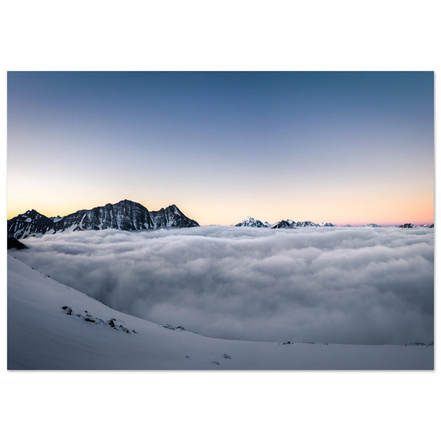
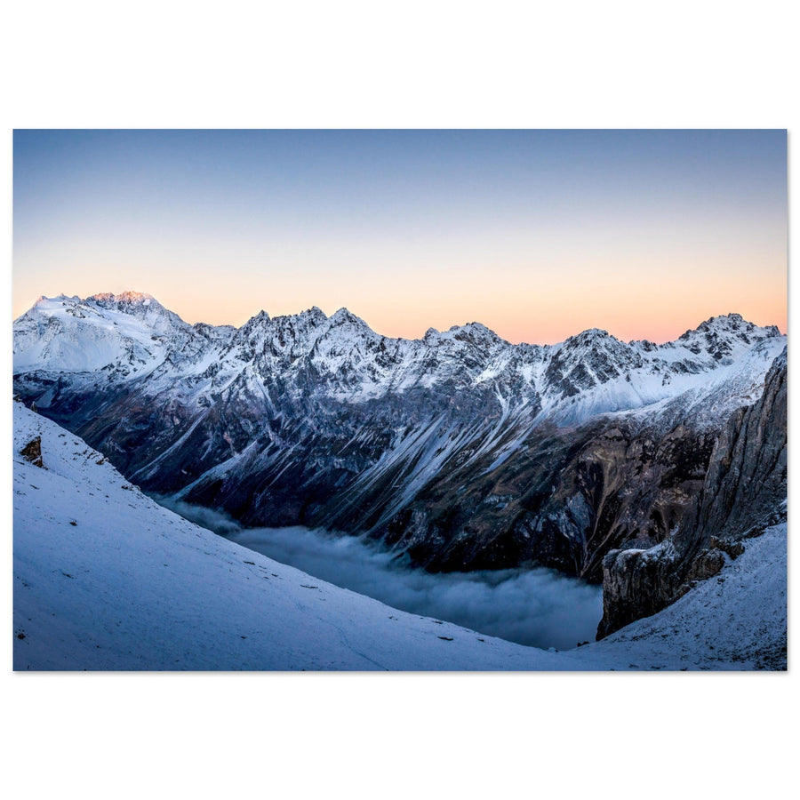
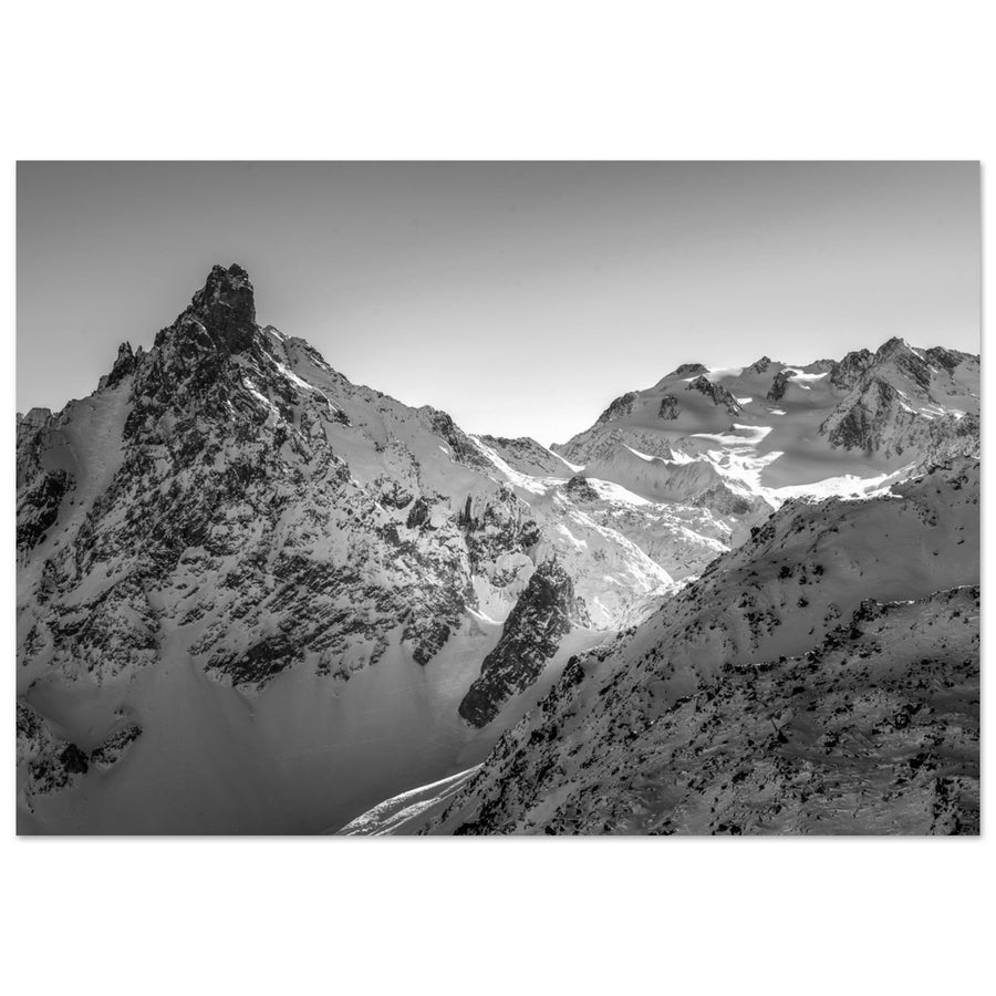
The artworks extend the guide through concrete examples: a simplified relief, a succession of layers, a rocky silhouette or a wildlife scene. They are not evidence that the same conditions will occur again in the field, but they show how a subject can become a clear image.

Discover Vanoise photo prints on matte aluminium Dibond

Explore the “how” through the technical guides

This guide helps you choose a subject and understand what makes it distinctive. For settings, composition or photographic situations that can be reused across several massifs, the technical guides are more appropriate:

Frequently asked questions about photography in Vanoise

Which subject should I photograph first in Vanoise?

If you primarily want a major summit, compare Grande Casse and Dent Parrachée. For an image built around a highly distinctive foreground, Lac des Vaches offers a different approach. For a strong human presence in the landscape, La Valette or Avérole are more suitable. The right choice therefore depends on the type of image you want, not on a single ranking of places.

Can Vanoise be photographed without a long hike?

Yes, depending on the area and the image you want. Vanoise also includes valleys, inhabited landscapes and viewpoints that do not require the same commitment as certain refuges or glacial areas. Always check the precise access for the chosen place and period.

Which season should I choose to photograph Vanoise?

There is no single best season for the entire massif. Spring, summer, autumn and winter create different atmospheres, but altitude and subject strongly affect the conditions. First choose the atmosphere you want, then check snow cover, access and ground conditions for the precise area.

What is the difference between the Vanoise massif and the core of the National Park?

The massif is a broader geographical territory. The Park’s core is a protected area governed by specific regulations. A place located in Vanoise is therefore not automatically subject to the same rules as a place located within the core area.

Can I bring a dog?

Dogs are not allowed in the core area of Vanoise National Park, except for exemptions provided by the regulations. Outside the core, other rules may apply depending on municipalities and nature reserves: check the exact route before setting out.

Can I use a drone?

Never assume that drone use is permitted. The Park’s core is subject to specific restrictions on overflight and aerial photography. Check the exact area, the Park’s rules and the applicable aviation regulations before preparing any flight.

About the author

Pierre Thiaville has photographed the mountains since 2017. He is the founder of AluArtMountains, a gallery specialising in Alpine landscapes and mountain photography, founded in 2024.

Through these guides, he shares an approach centred on reading the landscape, light, composition and preparing the outing.

Discover Pierre Thiaville and his photography →