What to photograph in the Mont-Blanc massif?
Choose your photographic terrain
Photographing the Mont-Blanc massif begins with a decision about distance: enter the valley to make the verticality palpable, move up close to the glaciers, or step back to a balcony that restores the full scale of the massif.
The same summit changes role depending on the side from which it is viewed. From Chamonix, the aiguilles rise like a wall above an inhabited territory; at Montenvers, the Mer de Glace becomes a story of material and transformation; at the Aiguille du Midi, altitude simplifies the planes and confronts the eye directly with the void.
This guide helps you choose a project before looking for a spot. It distinguishes the three dedicated guides and keeps the major external viewpoints as secondary alternatives.
Photographic identity
Four image families for reading the Mont-Blanc massif
The massif is not a single silhouette: it is composed by combining relief, scale, material and signs of habitation.
Before choosing a focal length or time of day, identify what should carry the image. A summit without a clear relationship to its foreground quickly becomes a general view; a human trace, moraine, forest or water mirror instead gives it scale and a story.
The massif above an inhabited valley
Houses, meadows, trees and infrastructure establish scale. The aiguilles feel even more vertical when a familiar foreground remains visible.
Ice as a landscape in transformation
Glacial curves, moraines and polished rocks organise a documentary reading. Material matters more than the line of the summits alone.
High mountains brought to eye level
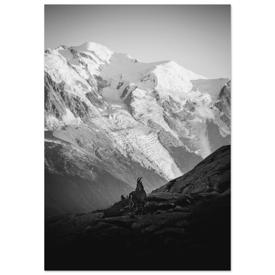
From a high-altitude site, distance becomes frontal. Human silhouettes, ridges and architecture give the void a sense of scale.
The massif seen from its outer balconies
Distance recomposes the range as a whole. Lakes, alpine pastures or side valleys become foregrounds capable of separating the volumes.
What distance serves your idea?
Use this shortcut to reach the project where the subject will genuinely remain primary.

Evidence through the image
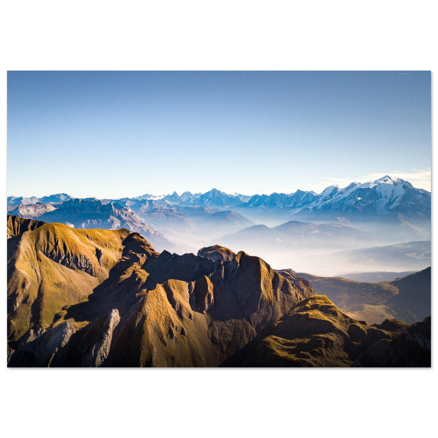
Distance transforms summits into a range
In this panorama, sky and ridges form a continuity that cannot be perceived at the foot of the massif. Choosing the viewpoint is therefore not only about seeing everything: it is about ordering the volumes.
Photography: Pierre Thiaville View this work of the Mont-Blanc massifChoice guide
What image of Mont-Blanc do you want to build?
Start from the visual result you want; each choice leads to terrain where that relationship is most legible.
Keep buildings, forest, river or meadows in the frame to measure the height of the aiguilles. See the valley project
Bring ice, moraine and Montenvers access into dialogue so the changing landscape remains visible. See the glacial project
Use ridges, silhouettes and architecture to give scale to the void. See the altitude project
Choose an outer balcony and a foreground that separates the planes without masking the ridges. See the distance alternatives
Three photographic approaches
Three projects for entering the massif
The inhabited valley, the Mer de Glace and high-altitude spaces give different senses of scale to the massif.
Mont-Blanc | Photograph Chamonix and the valley
Inhabited and vertical landscapeThe valley sets human scale against the wall of the aiguilles, lets you work with seasons and keeps several accessible planes without reducing the image to an isolated summit.
Mont-Blanc | Photograph the Mer de Glace from Montenvers
Glacier, moraine and story of changeMontenvers brings together glacier lines, traces of retreat, train and architecture. These elements give the landscape a temporal as well as spatial scale.
Mont-Blanc | Photograph the Aiguille du Midi
High altitude, ridges and human presenceAt the site's altitude, architecture, silhouettes and ridges become essential reference points. The project requires simplifying rather than accumulating summits.
Complementary viewpoints
Seven complementary sectors for broadening the massif
These areas change the side of the massif you see, the glacier’s position in the image or the distance to the summits.
Lac Blanc and Lacs des Chéserys
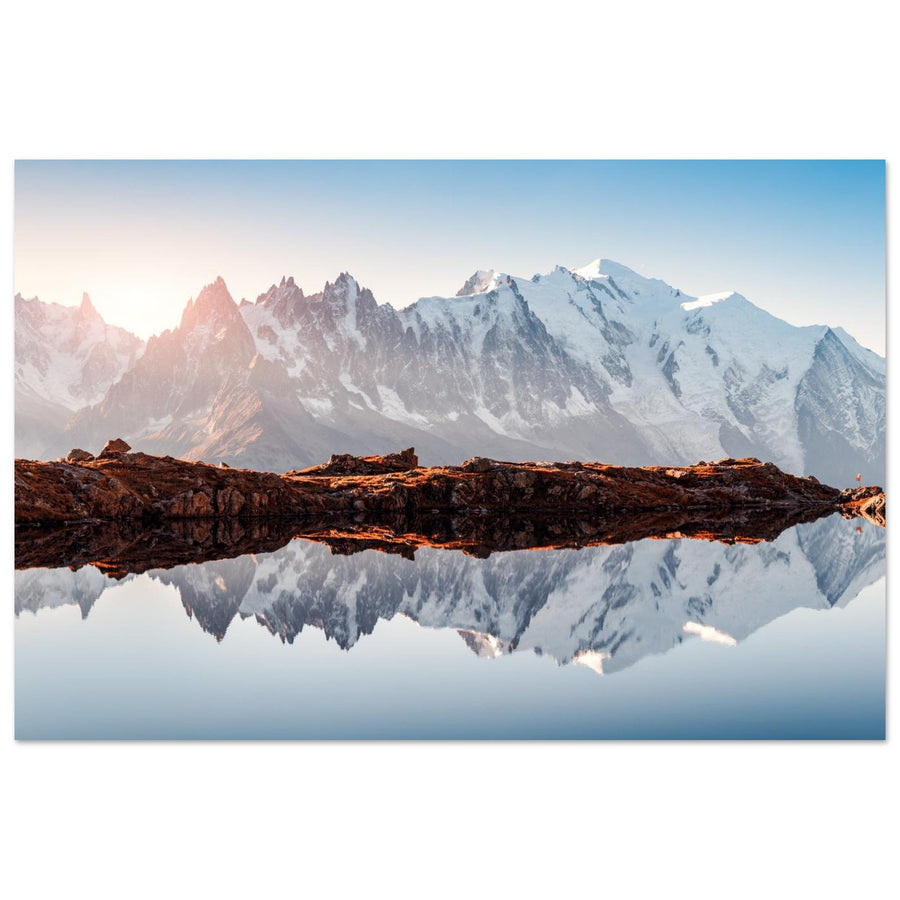
From the Aiguilles Rouges massif, water and rock slabs anchor the panorama. The project nevertheless belongs to the photographic territory of the Aiguilles Rouges: here it serves as an external comparison. The Lac Blanc and Lacs des Chéserys guide explains precisely how to build this lake-based foreground.
Passy and its balconies
Distance opens the range and gives more room to haze, slopes and changing light. It requires a structured sky or strong enough foreground to avoid a simple postcard effect.
Val Veny and Val Ferret
These valleys reveal other profiles of the massif and bring alpine pastures, larches or moraines into the composition. They change the identity of the summits as much as the language of the landscape.
Trient and the north-east side
The eye focuses on a tighter glacial world between valley, seracs and border relief. This choice suits a basin reading better than an exhaustive panorama of the massif.
Bossons and Taconnaz
The glaciers visually descend towards forest and inhabited areas. This contrast belongs to the valley project: it shows ice in context rather than as an isolated world.
Argentière
The valley floor broadens and the balance between glacier, villages and aiguilles changes. The sector suits a layered composition, with more space around the summits.
Val Montjoie, Miage and Bionnassay
This side replaces Chamonix's frontal relationship with valleys, domes and glaciers revealed progressively. It suits a narrative of route and landscape layers rather than an all-encompassing view.
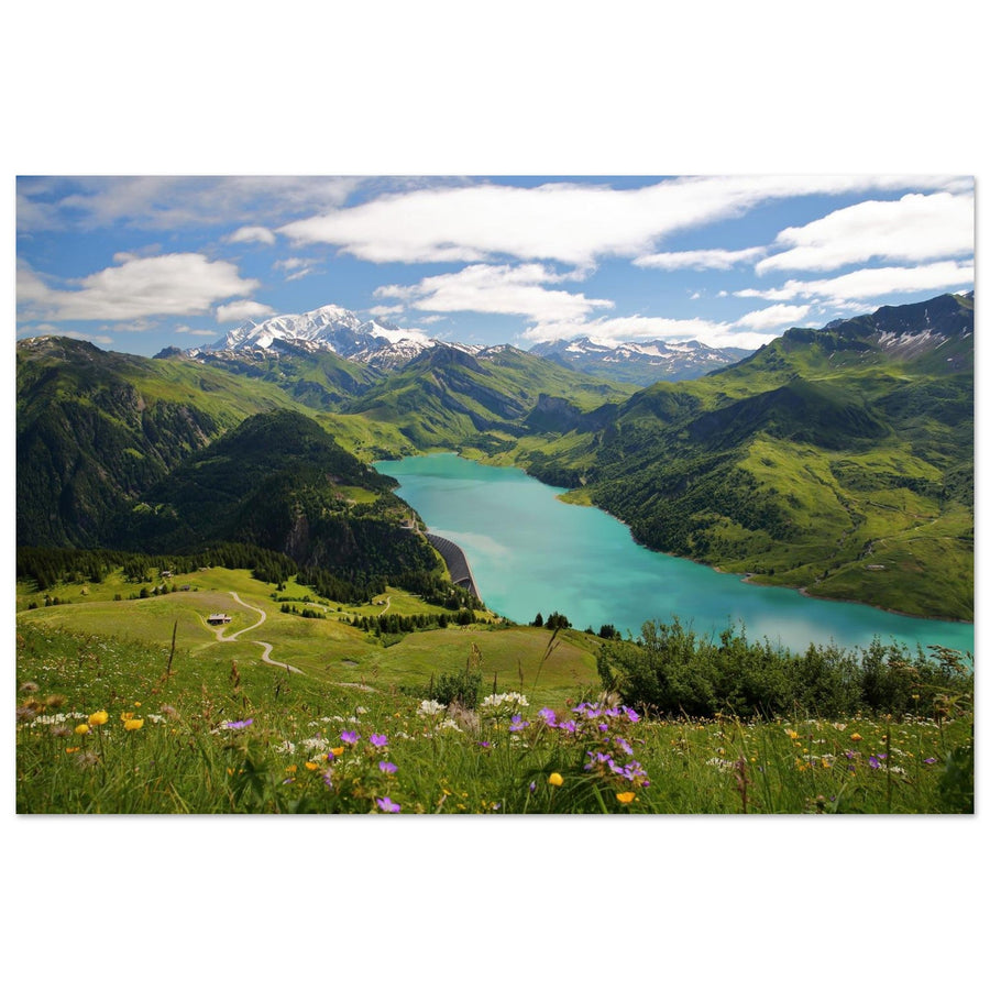
A lake, an alpine pasture or a side valley can give the massif a sense of scale that is difficult to judge from the panorama alone.

A closer view of the western side
A snow ridge replaces the panorama
At the Dômes de Miage, the ridgeline separates a bright face from a shaded slope. A few grooves are enough to reveal the shape of the slope. The massif is read through close, simple geometry, rather than an inventory of distant summits.
Photograph: Pierre Thiaville View the snowy ridge of the Dômes de MiageDecide with the light
Conditions that should make you change project
In the massif, the best Plan B is not always to wait: it is often to change altitude, distance or main subject.
Stay in the valley and work with nearby planes
High cloud can erase the ridges while leaving forests, river and glacier tongues legible. Frame the relationship between village and slopes rather than chasing an absent panorama.
Move from panorama to material
When volumes merge, moraines, ice, polished rocks and infrastructure details keep local contrast. Montenvers then becomes more productive than a distant balcony.
Favor distance and layered planes
Extended visibility favors Passy, the Aiguilles Rouges or side valleys. Introduce a foreground so the whole image does not rest on a simple horizon line.
Abandon altitude as a compulsory goal
The Aiguille du Midi is not mandatory. A valley scene or glacial subject from an open access point produces a more coherent image than a forced project in poor conditions.
Access and the mountain change quickly
Openings, timetables, wind, visibility, snow cover and trail conditions can alter the project on the same day. Travel time and acclimatization capacity matter as much as the light.
Responsible preparation
Prepare without freezing what can change
The geography and visual relationships described in this guide are stable. Access, schedules, prices, closures, works, glacial conditions and local rules are volatile: check them with operators and official organizations before every outing.
At altitude, the comfort of a viewpoint does not remove cold, radiation or the effects of reduced oxygen. On glaciers and mountaineering terrain, this editorial guide never replaces technical preparation, appropriate guidance or local instructions.
Check before you go
- weather, visibility, wind and expected changes at the chosen altitude;
- opening, schedules, any reservation and last return of lifts or trains;
- trail conditions, snow cover, works and local restrictions;
- approach time, equipment, water and return margin;
- compatibility of the project with your experience and physical condition.
Official sources
The Mont-Blanc massif in fine-art photography
The collection brings together interpretations taken from the valley, glaciers and outer viewpoints to extend these landscape choices.