What to photograph in the Aravis massif?
Choose a subject, not a spot
In the Aravis, an image can follow a silhouette, enter an inhabited valley, compare combes or connect a summit to its lake. The decisive choice is not the municipality: it is the geometry that must remain legible.
The same limestone range changes role with distance. It can become the entire subject, close a valley, frame an alpine pasture or give priority to water. Before setting out, decide what should dominate and what will serve only as scale.
What really changes from one image to another
Four ways to make the Aravis hold together in the frame
The limestone peaks give the massif its unity; depth comes from the relationship built with them.
A silhouette transformed by distance
Around Pointe Percée, the profile, apparent size and relationship with the alpine pastures change enough to build a series around a single summit.
A valley that keeps its ground
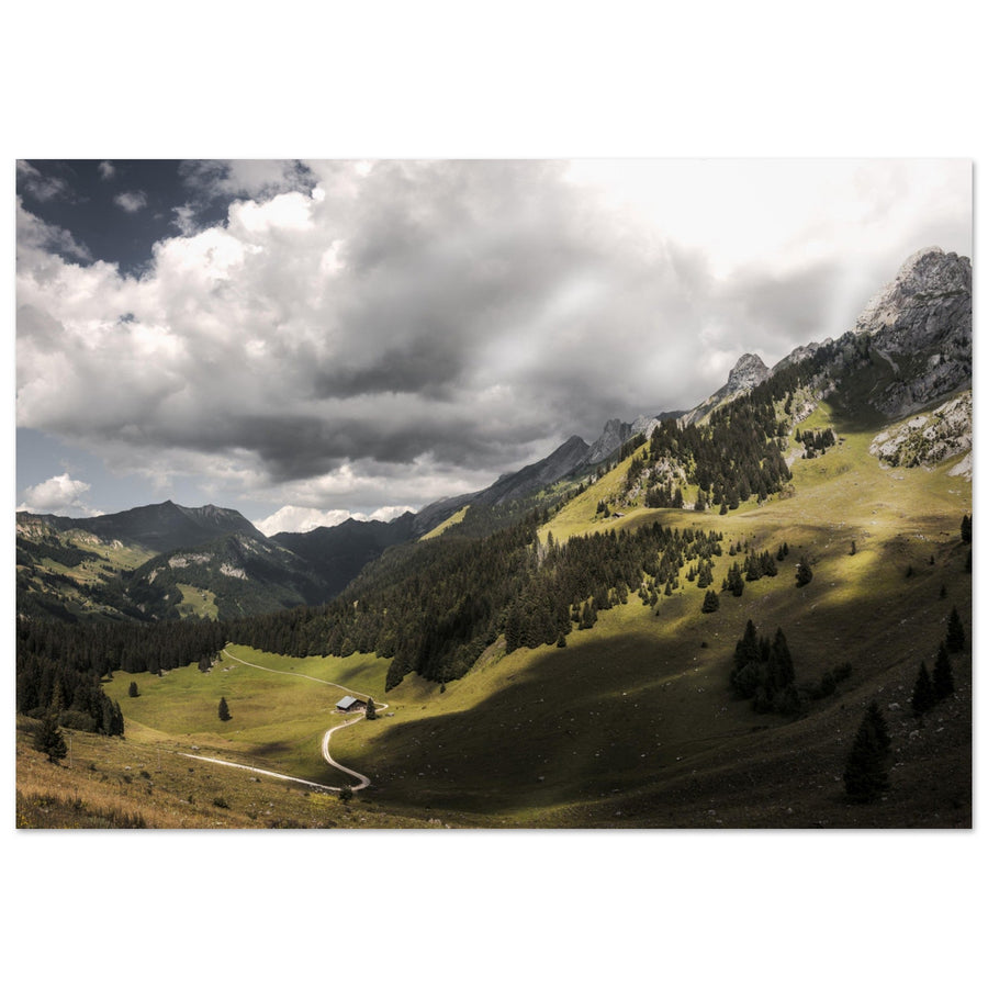
At Doran, the alpine pasture, chalets, chapel and refuge provide scale; the relief matters through the way it encloses this inhabited space.
Combes to read across the range
From Les Confins to Tardevant, openness, wall height, water and the succession of planes distinguish images that the word “combe” could otherwise make too similar.
A summit and its lake as one system
At Mont Charvin, the pastoral approach tightens into the cirque: the lake is not an added motif, but a transition that changes the relationship with the summit.

Read the range along its length
The repetition of peaks becomes the subject
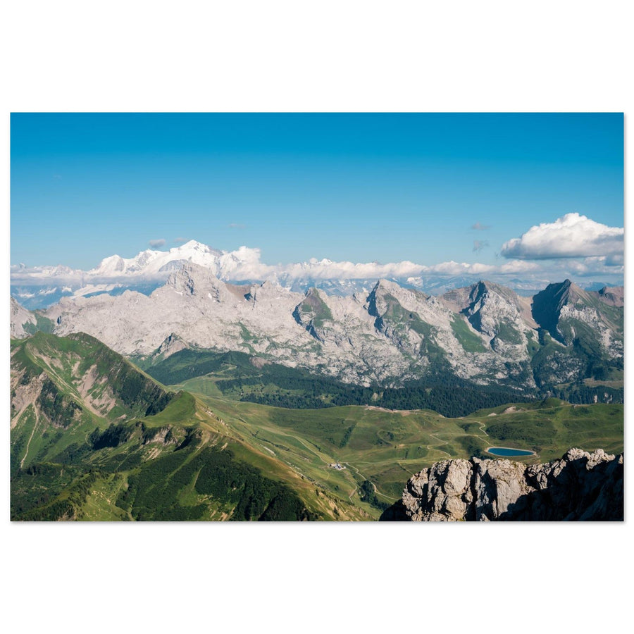
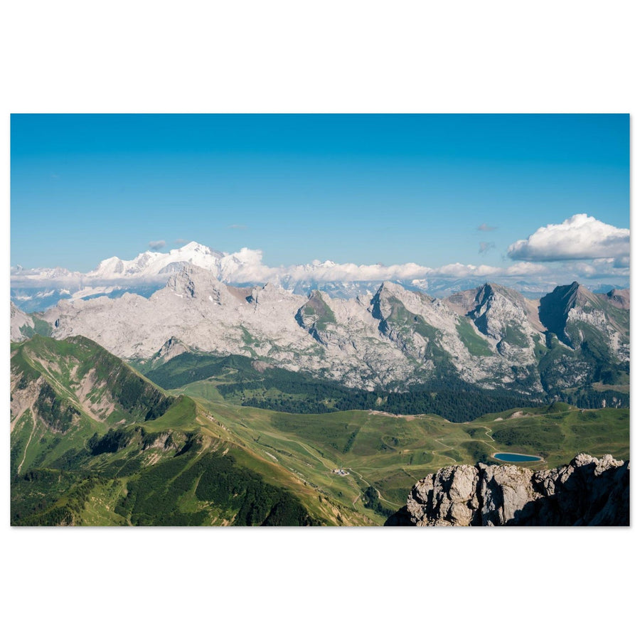
Side light separates the ridges without reducing them to a sequence of named summits. The frame works because the planes echo each other along the whole line.
Photography: Pierre Thiaville View the Aravis peaks in the lightStart from the image result
What relationship do you want to build with the relief?
Choose the transformation you want, then open the project that makes it most visible.
Preserve the profile while varying its size and the terrain that accompanies it. Follow Pointe Percée
Keep ground, a human scale and the walls that give the place its depth. Enter Doran
Work across the water, alpine pastures and enclosure of the walls. Read the combes
Build a progression in which the lake brings the eye closer to the summit. Connect Charvin to its lake
Step back until several peaks form a line rather than four competing subjects. Take a step back
Four deeper projects
Open the project that best protects your subject
Summit portraits, an inhabited valley, combes and a high-altitude lake offer four ways to frame the same range.
Aravis | Photograph Pointe Percée
Silhouette and distanceThe Vallée du Bouchet, Col des Annes and Gramusset vary scale, angle and material without losing the thread of the profile.
Aravis | Photograph Vallon de Doran
Enclosure and human scaleThe ground, buildings and walls build a depth that the presence of Pointe Percée alone cannot tell.
Aravis | Photograph the Aravis combes: Les Confins, Paccaly and Tardevant
Cross-sectional comparisonThe three sectors share a family of relief, but each imposes a different depth and role for the foreground.
Aravis | Photograph Mont Charvin and Lac du Charvin
Summit, water and cirqueThe alpine pastures start the series; the lake then becomes a hinge that brings the summit closer and closes the composition.
Change your viewing distance
See the range beyond the four areas
Stepping back brings several peaks together; a pass or alpine pasture can then connect this line to the nearby terrain. Towards the Bargy, the landscape moves into another massif.
The range from a distant viewpoint
Beauregard, Tête du Danay or Mont Lachat become useful when several peaks together form a rhythmic line. The viewpoint serves this relationship; it is not the subject by itself.
Col des Aravis, Étale, Merdassier and Croix-Fry
These areas become useful when they change the viewing distance, foreground or relationship to the range.
Col de la Colombière, Lac de Peyre and Bargy
When the cliffs of the Bargy, Lac de Peyre or its wildlife organise the image, the subject shifts to another massif.
Mont-Blanc behind Aravis terrain
The photograph remains Aravis if a local pass, alpine pasture or ridge is essential. If the frame holds without them, the Mont-Blanc massif becomes the real subject.

Central and southern part
Col des Aravis as a foreground for the massif
Alpine pastures and chalets give the cliffs a local sense of scale. This work depicts the pass itself, without artificially attributing a Mont-Blanc view to it.
Photograph: Alena F-key View the Col des Aravis photographic print
Northern boundary
Lac de Peyre shifts the subject towards the Bargy
Water and limestone walls structure this composition. The work illustrates the precise boundary described in the guide: when Lac de Peyre and the Bargy dominate, the subject is no longer really the heart of the Aravis.
Photograph: olivard View the Lac de Peyre photographic printGive up the planned image
When the terrain imposes another project
An unfavourable condition does not always mean waiting: it can change the best geometry.
Move down to a closer relationship
Abandon the complete range and look for the slope, chalet or edge of a combe that preserves scale despite the disappearance of the summits.
Let the opening of the terrain carry the image
A combe, valley or shore can organise the planes when the limestone no longer separates the relief enough.
Replace reflection with transition
Reduce the amount of water and use the shore, texture or a bright strip to lead towards the relief without forcing symmetry.
Change sector, do not bypass the constraint
Return to a lower, more open or already accessible project. No framing justifies leaving an authorized passage or disturbing an active alpine pasture.

Return to a closer scale
The village and meadows can carry the image
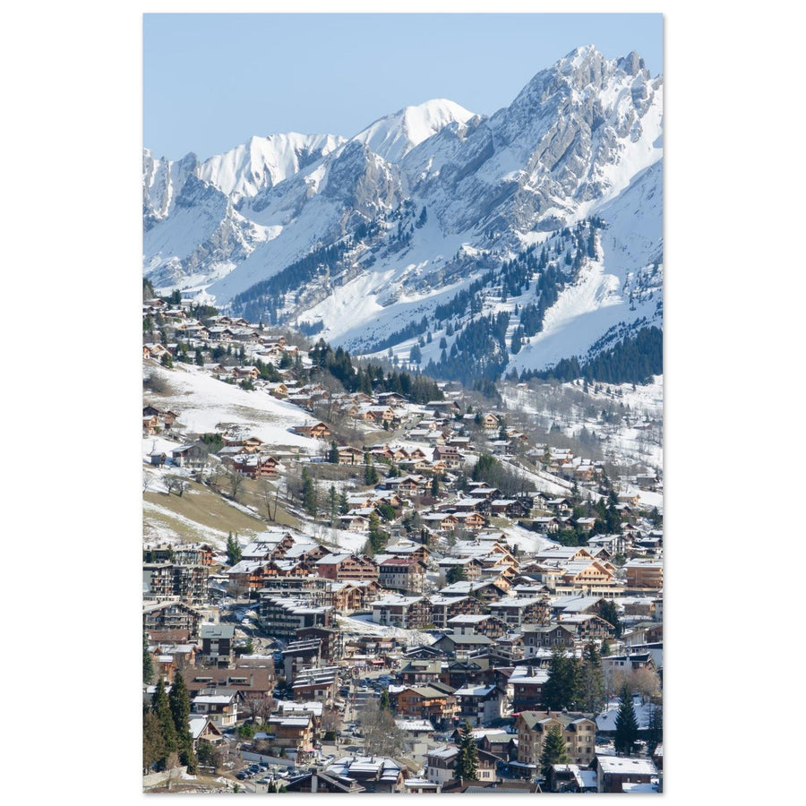
The roofs of La Clusaz establish the first rhythm, followed by meadows and forest shaping the slope. The ridges remain distant and understated. The work shows a sense of proximity that does not depend on a detailed portrait of the peaks.
Photograph: Joan Vadell View La Clusaz and its pastoral slopesSeparate the landscape from changing information
Prepare a photography outing in the Aravis
The shapes of the relief and the relationships between subjects remain stable. Roads, parking, shuttles, refuges, trails, restrictions, livestock, protection dogs, snow and safety conditions must be checked just before departure.
Check before you go
- the condition and authorization of the chosen access;
- snow, wind and visibility conditions;
- refuge openings and instructions;
- local rules for bivouac, protection and sharing alpine pastures.
Official sources
- Le Grand-Bornand — Pointe Percée, Col des Annes and alpine pastures
- Sallanches Mont-Blanc — Doran refuge and alpine pasture
- La Clusaz — access and combe sectors
- La Clusaz — Col des Aravis and the range
- Manigod — Col de Merdassier
- Manigod — Lac du Charvin and conservation measures
- Asters-CEN74 — Bargy massif
Photographic works from the Aravis massif
The collection extends these ways of seeing the range, combes, villages and mountain huts.