Grandes Rousses | Photographing Lakes Besson and Noir and the Col de Sarenne
From a contained surface to an open valley
Lac Besson spreads the landscape out, Lac Noir tightens it, then the Col de Sarenne opens it through a road and slopes. This page does not propose three stops: it shows how the foreground support changes.
Water can become surface, material or separation without offering a perfect reflection. At Sarenne, that role passes to the road, hairpins and Ferrand valley: the lines lead the eye instead of holding it.
Choose what holds the bottom of the image
Water, shoreline or road: which foreground should command?
The place name matters less than the line that distributes the planes.
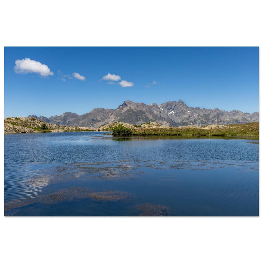
At Lac Besson, keep enough water to create calm, then use the shore to avoid a lower half without direction.
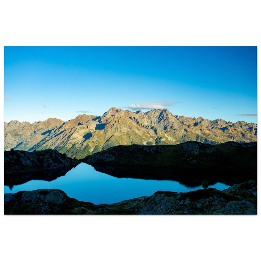
At Lac Noir, rocks and shoreline bring the planes closer; the background should remain a response, not a mountain chain simply placed above the water.
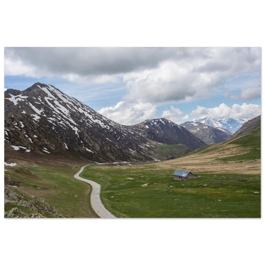
At Sarenne, the hairpins or edge of the slope lead towards the Ferrand. They serve the slope as long as they do not become an autonomous road photograph.
Three ways to distribute the planes
From Lac Besson to Sarenne, the landscape shifts from horizontal to plunging
Coherence comes not from tourist proximity but from the gradual transformation of the local plane.
The surface and low banks give air to the frame; the relief can remain broad without crushing the water.
Blocks, stronger banks and dark tones bring the foreground closer to the massif visible behind.
The road and slopes no longer hold the eye; they pull it into the valley and lengthen depth.

Water that works without a mirror
Surface, shoreline and range occupy three depths
Ripples prevent symmetry but add material to the foreground. The strip of shoreline then keeps Belledonne at a distance and preserves the lake as the main subject.
Photograph: olivard. View Lac Besson without a mirror reflectionThe place is not enough; position decides
Move closer to the water, gain a little height or follow the slope
Each move changes the amount of water, shoreline continuity and autonomy of the distant massif.

After the surface, a direction
The Sarenne road carries the eye onwards
The lake gives way to a road curving through the grass. The small building and snowfields separate the distances before the distant opening. The series thus changes structure instead of adding a third view of water.
Photograph: A Athena Images View the curve of the Sarenne roadBuild even when the expected effect disappears
Make water work without reflection and the road without spectacle
A robust geometry remains readable in wind, under an even sky or when the light does not separate the summits.
Use ripples as a change of material
Oppose textured water to a denser shore; the lake keeps its weight without depending on a copy of the sky.
Keep an incomplete line
A shoreline that enters then leaves the frame accompanies depth; a continuous band risks closing the landscape.
Make the background answer the basin shape
A summit or ridge should extend a diagonal, balance a mass or close an opening, not merely fill the horizon.
Show its effect on the slope
The hairpins make sense when they measure the slope and lead towards the Ferrand; reduce them if they become anecdotal.
The foreground decides the subject
Does the lake still hold the image when Belledonne or the Écrins dominate?
Mentally remove the water, shoreline, road or local slope. What remains reveals the true subject.
The surface, bank or slope distributes the planes and gives the distant massif its exact place.
The Grand Pic keeps all its geometry without the lake; water is only a band or secondary reflection.
The hairpins remain interesting even without the valley and slopes: the image then leaves the local landscape project.
Keep the local frame only when the nearby plane truly changes how the background is read.
When water and relief do not cooperate
Replace reflection, clarify the shore, reduce the background
The fallback should remain specific to the surface, basin or slope you are photographing.
Frame the difference between water and shore
Ripples become texture; look for a clear bank or rocky mass that opposes a more stable material.
Move until you recover a simple line
Remove fragments without a role and keep one support: rock, grass, snow patch or terrain curve.
Give more weight to the basin
Lower the horizon or tighten on water and shore; the page does not require spectacular summits every time.
Stay with a series of waters and shores
Compare Besson and Noir through openness, material and relationship to the background rather than forcing an inaccessible or unreadable road.
The plateau and pass change with the season
Check the lakes and Sarenne without freezing access information
Roads, shuttles, lifts, snow, grazing and restrictions can change the approach. The relationship between water, shore and relief remains useful; concrete conditions must come from current sources.
The area includes high-altitude environments, pastoral zones and regulated uses. Stay on authorized routes and adapt the project to local instructions.
Check before the outing
Prepare for conditions that can change the starting point or presence of a foreground.
- access to the lake area, shuttles and traffic;
- condition of the Col de Sarenne road and snow cover;
- wind, water levels, snow patches and trail condition;
- local protection rules, grazing and authorized uses.
Official sources
Consult current pages rather than memorizing a timetable or opening.
Leave the water to recover great distance
Continue towards the Pic Blanc plunge or compare the entire area
Move to ridges and successive ranges
Choose this continuation when you want depth to rely on height rather than a shore, surface or road.
Return to the territory choice
The main guide places water, Sarenne, the resort and distant massifs within a single decision system.