What to photograph in the Grandes Rousses massif?
Choose an image structure
Around Alpe d’Huez, two landscapes overlap: the Grandes Rousses provide the nearby terrain, while the Écrins, Belledonne and Oisans broaden the background. Photography begins by deciding which of the two actually organizes the frame.
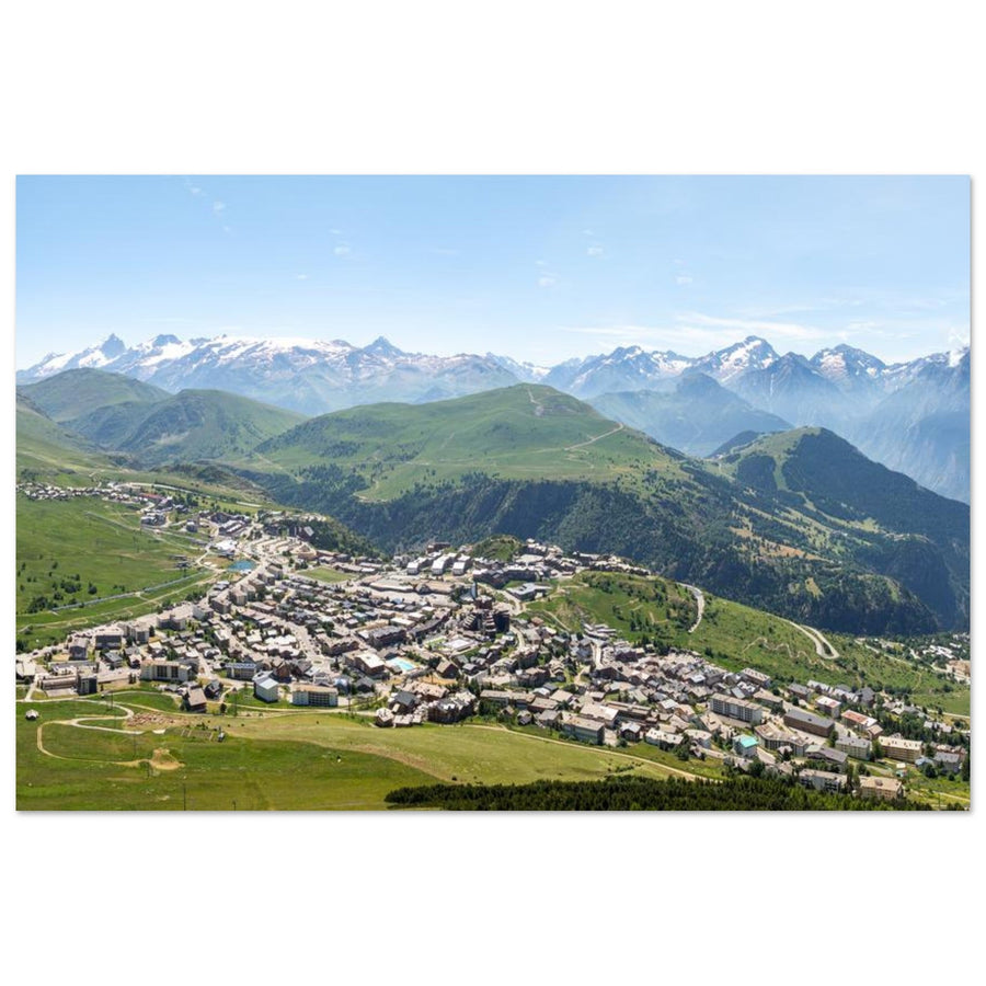
The resort is not the massif. It can provide a pattern of roads, pistes and buildings, but the local relief, a ridge, a shoreline or a slope must still give the image its geometry.
The area then offers two main projects: use the height of Pic Blanc to separate distances, or work lower down with water, shores and the opening of Sarenne.
Three image systems
Read the resort, the massif and the horizon without confusing them
The same starting point can produce an urban mountain image, a vertiginous cross-section of the Alps or a landscape held together by water. The difference lies in the hierarchy of the planes.
The resort as a pattern and a scale
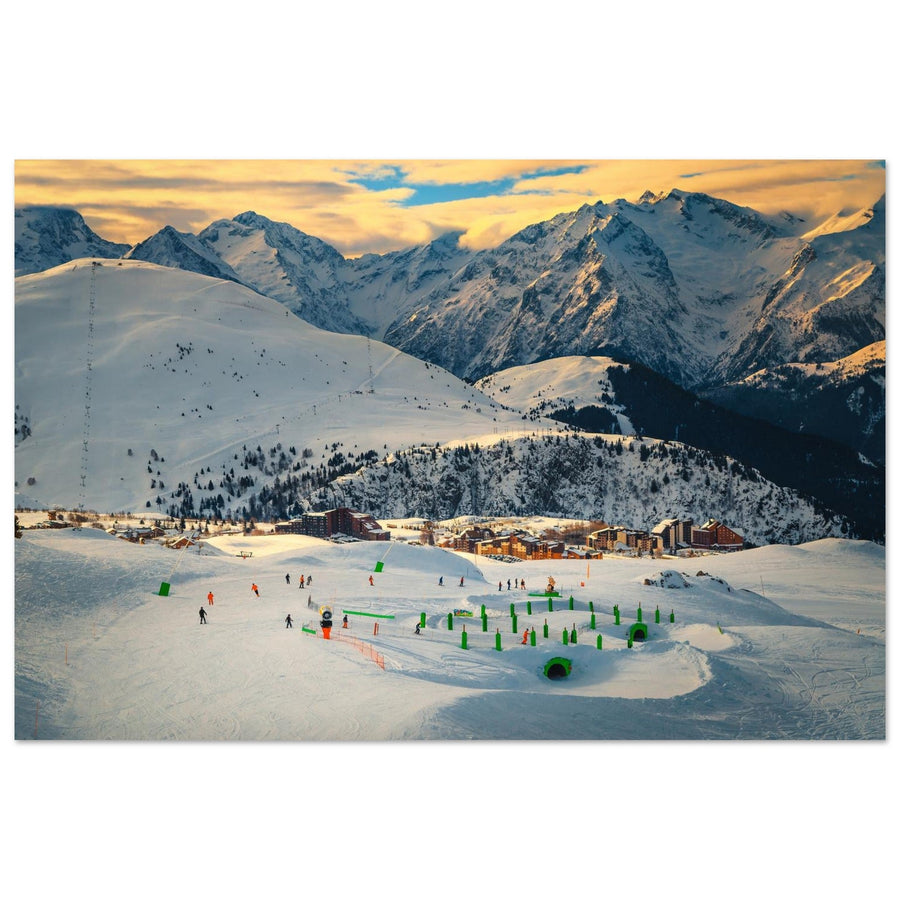
Pistes, roads and buildings reveal the slope and provide a human measure. They work when they draw the balcony of the Grandes Rousses; they clutter the image when they become an inventory of facilities.
Height as a separator of distances
From Pic Blanc, the downward view compresses the valleys. A nearby ridge, a tongue of snow or a lake below must therefore divide the space before the distant ranges take over.
Water as a plane, not an obligatory mirror
On the plateau, the surface slows the eye. Its shore, colour and relationship with the slopes are enough to build the image, even when the wind erases every reflection.

A local scale
The resort measures the slope without erasing the mountain
The neighbourhoods and lines form a precise base. The snowy range remains dominant, but it reads as distance only because the balcony builds the foreground.
Photography: Bartus Daniel. View snowy Alpe d’Huez in the Grandes RoussesStart from the result you want
What element should hold the eye before the horizon?
First choose the relationship between the planes; the precise place comes afterwards.
The nearby relief acts as a backbone and distributes the valleys on either side. Choose Pic Blanc
Distance and atmospheric perspective matter more than the number of identified summits. Organise the high altitude
The shore and the colour of the basin establish a first order before the relief. Work with the lakes
A road, a hairpin or a piste can explain the gradient without becoming the main subject. Embrace the infrastructure
Two depths
Move from immense altitude to a landscape held by the terrain
The two guides address opposite problems: disciplining abundance from the summit, or giving weight to a shore, a surface and a valley opening.
Grandes Rousses | Photograph Pic Blanc and the Écrins from Alpe d’Huez
Ridge · downward view · successive rangesThe project works when nearby relief separates the valleys and leads towards the summits. It fails if the horizon becomes a simple list of peaks.
Grandes Rousses | Photograph Lakes Besson and Noir and the Col de Sarenne
Water · shore · valley openingLac Besson spreads the space out, Lake Noir tightens it, then Sarenne opens it through the road and the Ferrand valley. The continuity comes from this transformation of the planes.

From the developed mountainside to the valley
At Sarenne, the road leads between the slopes
The curve of the road crosses a grassy valley still marked by snowfields. The small building gives the terrain a sense of scale before the distant mountains. Depth comes from the local line, unlike the urban base shown at the start.
Photograph: A Athena Images View the road through the Sarenne valleyHuman traces and small bodies of water
Keep human traces and secondary waters in their proper place
These subjects can enrich a series, but they do not replace the area's two main relationships.
Pistes, lifts, roads and buildings
Use them to reveal a slope, a distance or the occupation of the balcony. Exclude them if they only identify the resort or scatter attention.
Faucille, Carrelet and the smaller waters along the route
They contribute to a sequence, a change in shoreline or a shift of scale.
Change structure before forcing the landscape
When the terrain refuses the planned image
A good Plan B preserves the subject hierarchy instead of searching for a replacement effect.
Tighten on a local ridge or slope
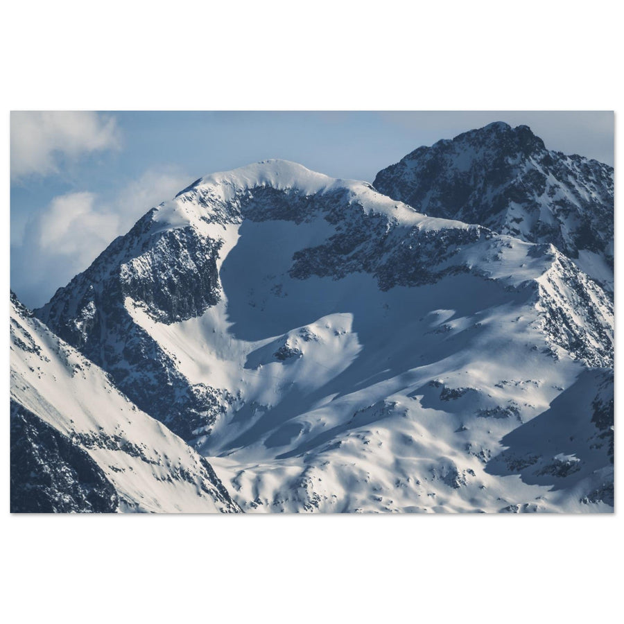
Abandon the grand inventory of summits; nearby material and differences in snow can be enough to build an image.
Make the surface a material
The shore, variations in blue and ripples can separate the planes without any symmetry.
Reintroduce local terrain or change subject
If the Écrins or Belledonne sustain the frame on their own, the Grandes Rousses become the observation point; their nearby terrain no longer contributes to the image.
Give it a function or exclude it
A road can guide, a pylon provide scale, a piste reveal the slope. Without a clear role, shift the frame.
Access changes faster than geometry
Lifts, shuttles, high-altitude roads, snow and restrictions can change the starting point or make a sector inaccessible.
Keep the photographic project stable, but check the terrain just before setting out.
Separate the durable from the changing
Prepare a photography outing in the Grandes Rousses
The relationship between ridge, valley, shore and massif remains valid. Road openings, lift operations, snow cover, local restrictions and high-altitude conditions, however, must be checked at the last moment.
Check before you go
- access and lift schedules for Pic Blanc;
- traffic, shuttles and the condition of high-altitude roads;
- snow cover, wind, visibility and ground conditions;
- local protection rules and permitted uses.
Official sources
See images from the area
The collection brings together views of the resort, Pic Blanc, the lakes and Sarenne; use it after choosing the relationship that interests you.