Aravis | Photographing the Aravis combes: Confins, Paccaly and Tardevant
One family, three depths
At Les Confins, Paccaly and Tardevant, do not photograph “a combe”: choose the opening, wall height and place of water that will make this specific area recognisable.
The three landscapes share alpine pastures and limestone, but not the same geometry. Les Confins breathes more freely around the lake and plateau; Paccaly stretches the layers; Tardevant tightens the progression towards a more enclosed high-altitude lake.
Choose what should close the image
What depth are you looking for in the combes?
The first choice opposes an open entrance, a succession of layers and a feeling of interior space.
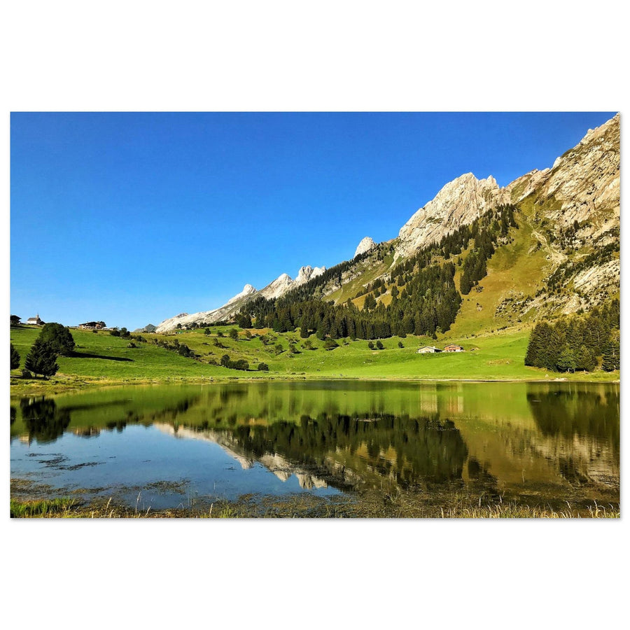
At Les Confins, let the plateau and lake open the frame; the peaks should close the horizon without crushing that breadth.
At Paccaly, make slope lines, ground and relief follow one another rather than immediately seeking an isolated summit.
At Tardevant, use the narrowing walls and high-altitude lake to create a higher, more mineral sense of enclosure.
Form before place
Recognise a combe through its relationships
A slope alone or a peak alone is not enough: the signature comes from the system they build.
Their separation decides whether the image breathes or tightens. Frame them as a pair; a single wall turns the scene into a generic slope.
Alpine pasture, shoreline or path should show the slope and succession of layers without becoming a simple hiking access.
The view towards the valley makes Les Confins more open; the growing enclosure of Tardevant instead creates an inner world.
A lake changes breathing room and the foreground, but the combe must remain readable when the reflection disappears.
Cross-valley enclosure
The ground measures the height of the walls
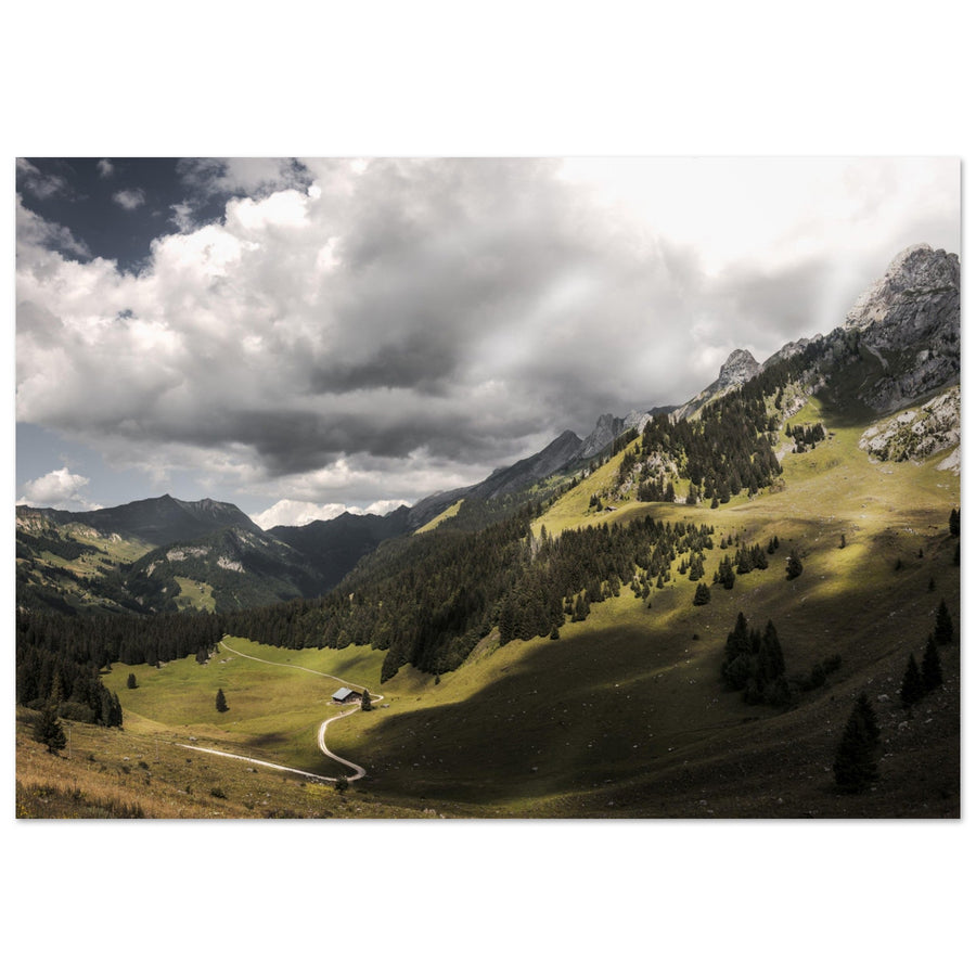
The open alpine pasture, tiny chalet and pale road give scale to the limestone mass. Partial light cuts across the slope without turning the scene into a summit portrait.
Photograph: Pierre ThiavilleView the artwork
Three non-interchangeable readings
What Les Confins, Paccaly and Tardevant change in the frame
Each area should produce a visible transformation, not simply add a name to the itinerary.
Family or isolated motif?
When is the image still about a combe?
The presence of limestone and alpine pasture is not enough; both sides and the depth must work together.
The ground leads between two walls, the opening is measurable and the foreground contributes to that depth.
Water fills the frame and the walls become replaceable scenery; restore the valley or embrace another project.
The silhouette controls the composition and the cross-valley geometry disappears: the photograph no longer belongs to the comparison of combes.
If a single summit becomes recognisable and controls every layer, return to the silhouette logic of Pointe Percée.
Avoid the same combe everywhere
Repair a series that has become interchangeable
The backup plan should change the depth or the place of water, not merely change the signpost.
Change the function of the ground
At Les Confins, open with the shore; at Paccaly, lead with the slope; at Tardevant, use the ground to strengthen the enclosure.
Reduce water to a transition
Frame a stable shoreline, a bright strip or a texture; symmetry is not required to preserve the place of the lake.
Photograph the opening rather than the material
Widen until the gap between the slopes and the ground line regain control of the image.
Stay at the entrance to the combe
A lower cross-valley reading can preserve the geometry without continuing towards a lake, ridge or terrain that has become unsuitable.
Living alpine pastures and shores
Prepare one precise area, not “the combes” in general
Access, remaining snow, moisture, livestock and trail conditions vary between Les Confins, Paccaly and Tardevant. An area that looks open does not guarantee a usable route higher up or an available shoreline.
Stay on existing tracks around wetlands and adapt framing to fences, pastoral activity and other users.
Check for the chosen area
Useful information cannot automatically be transferred from one combe to another.
- currently recommended route and access to the trailhead;
- snow, moisture, visibility and return time;
- pastoral areas, fences and livestock-guarding dogs;
- fragility of shores and any local restrictions.
Official sources
Recheck La Clusaz information before every outing.
Leave the family when the geometry changes
Continue towards a summit or inhabited valley
Two changes of relationship
Follow a silhouette if a peak takes priority, or Doran if human presence becomes structural.
Return to choosing the territory
The general page compares the combes with the three other photographic systems of the Aravis.