Vercors | Photographing Moucherotte, Pic Saint-Michel and the Lans valley
Northern Vercors photo guide
Photographing the northern Vercors means choosing which side of the ridges should build the image: towards Grenoble and the Alps, or towards the meadows, villages and forests of the plateau.
Moucherotte, Pic Saint-Michel and the Lans valley belong to the same limestone edge, but they create neither the same depth nor the same human presence.
Initial decision
What depth should carry the photograph?
The same edge of the massif can close a foreground, open towards the Alps or give the plateau a boundary. Choose that movement of the eye first.
Use the limestone edge as a threshold. The city or the distant ranges provide depth, but one of the two must remain clearly secondary.
Tighten around Moucherotte or Pic Saint-Michel and keep a terrain line that can lead towards it. The panorama becomes a background, not a collection of landmarks.
From the Lans valley, meadows, forest edges and villages build several layers before the ridges. The mountain gains its scale through this dialogue.
Photographic signature
Three features distinguish the north of the massif
Here, the interest comes less from an isolated summit than from the relationship between a long edge, two sides and strongly contrasting scales.
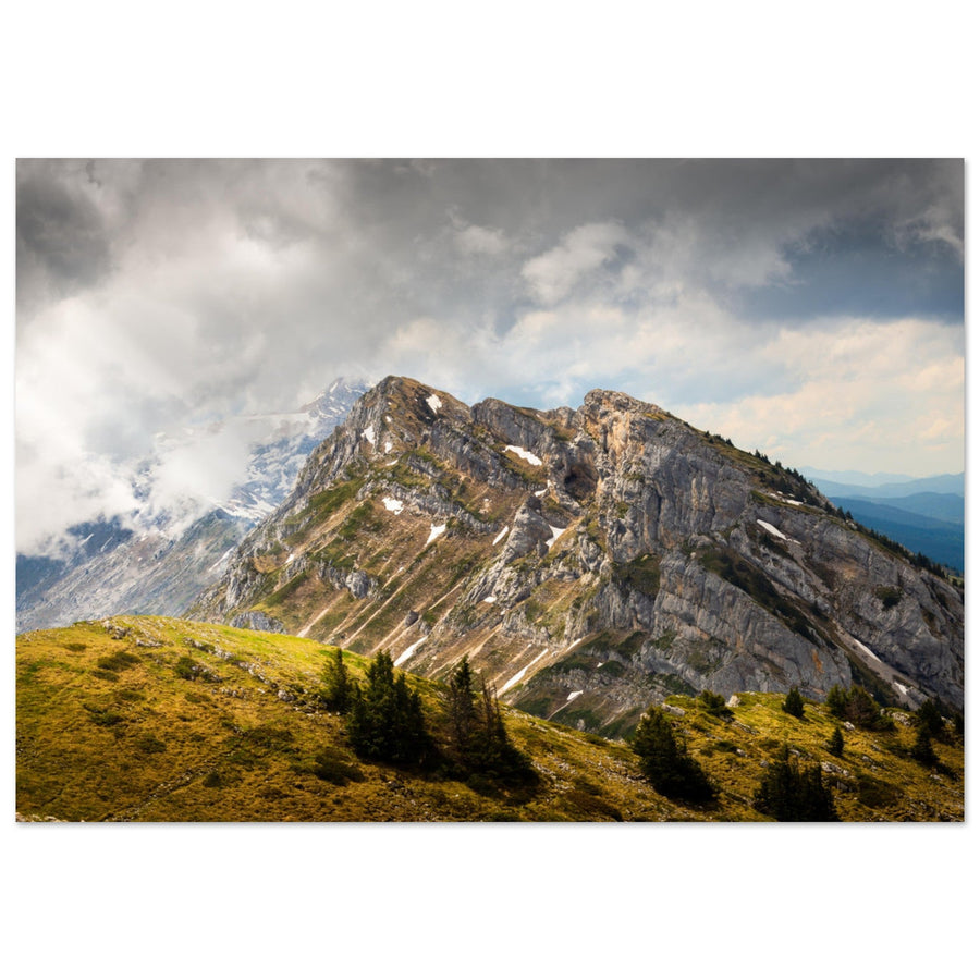
The western edge visually separates the conurbation and the major Alpine ranges from the inner plateau. Its continuity can structure the entire frame.
The city unfolds as urban depth, while the Lans valley builds a progression of meadows, forests and villages. Choosing the side changes the narrative.
Alpine grasslands, lapiaz and hollows soften the approach to the cliffs. These foregrounds add material to the ridge without erasing its role as a boundary.
Local readings
The chosen area determines the background and the place of people
Each reading answers a distinct intention. The place is useful only because it changes the relationship between ridge, space and depth.

Evidence of a ridge led by the terrain
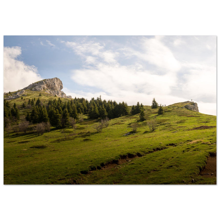
The alpine pasture gives direction to Pic Saint-Michel
Ground undulations and groups of trees organise the approach to the limestone mass. The summit remains the destination without the foreground losing its own material.
Photograph: Pierre ThiavilleView the Pic Saint-Michel artworkSubject boundary
When do the ridges stop being the subject?
The presence of a summit in the frame is not enough. Look at what controls the scale and what the eye seeks first.
Its lines organise the foreground and stop the eye. The city, Alps or villages provide secondary depth.
The edge becomes a threshold from which another territory is observed. The image is then one of a viewpoint.
Meadows, homes and forest edges control the progression. The summits give the inhabited landscape a boundary and identity.
This boundary lets you change guide without forcing a summit reading onto an image carried by the city or valley.
Failures and backup plan
Removing layers can save the photograph
The northern Vercors easily accumulates foreground, ridge, city and distant ranges. The backup often consists of removing one of them.
Work with the ridge and its foreground
If the distant horizon disappears, bring the reading closer to the alpine grasslands, lapiaz or forest edges. A strong edge does not need a complete panorama.
Choose one scale relationship
Remove the city, villages or distant ranges according to your intention. A photograph does not gain depth simply because it contains every possible level.
Change position without looking for a shortcut
Protected areas and quiet zones require staying on authorised routes. Choose another relationship rather than a fragile position.
Terrain and sources
Urban proximity does not make the terrain uniform
Moucherotte reaches 1,901 m and Pic Saint-Michel 1,966 m. Their routes combine forests, alpine grasslands, lapiaz and exposed edges, with very open views but conditions that can change quickly.
The area includes protected and sensitive spaces. Access, rules, possible restrictions and route recommendations must be re-read for the exact itinerary.
Check before the outing
Prepare position and route as two connected decisions.
- visibility, wind and exposure on the ridge;
- access, parking and realistic timings;
- protected areas, quiet zones and routes;
- snow, mud or slippery terrain.
Official sources
Re-read the route sheet you actually choose and current information.
Continue the project
Change guide when the edge no longer carries the image
Two neighbouring guides
Continue towards the subject that matches the new scale relationship.
Return to choosing the territory
The Vercors guide compares silhouette, open space, ridges, reculée and plateaus before choosing a new area.