Vercors | Photographing Grand Veymont and the Hauts-Plateaux
Grand Veymont and Hauts-Plateaux photo guide
Photographing Grand Veymont means choosing a hierarchy between the highest point of the Vercors and the space that gives it scale: the Gresse plain, the eastern barrier or the expanse of the Hauts-Plateaux.
The best position is therefore not necessarily the highest. It is the one from which summit, terrain lines and scale references form a single reading.
Initial decision
What should the eye measure?
Distance changes the identity of the summit less than the relationship between its mass and the territory. Choose that relationship first, then look for the lines that can make it readable.
Frame the summit pyramid large enough to terminate ridge lines or the progression of the slopes. Foregrounds provide depth without competing.
From the Trièves, meadows, forests and villages give scale to the eastern barrier. Grand Veymont remains dominant if it keeps a clear separation and a structuring position.
Widen the frame to work with the continuity of alpine grasslands, lapiaz and reliefs. The summit then becomes an orientation landmark rather than the main point of the image.
Photographic signature
The strength of Grand Veymont comes from three relationships
The summit is never alone: it takes its place in relation to the eastern barrier, the slopes leading to it and the breadth of the plateau.
The difference in altitude becomes readable when plains, woods and slopes unfold before the summit. Removing all these layers visually brings the mountain closer without always making it stronger.
The limestone ridges can lead towards Grand Veymont or, conversely, merge it into a continuous line. The angle must preserve the hierarchy you have chosen.
On the reserve side, the breadth of the terrain matters as much as the pyramid. A path, break in slope, tree or change in material prevents openness from becoming an unmeasured void.
Local readings
Four positions, four scale relationships
These areas are not meant to be collected in one outing. They help you choose between mountain, progression and open space.

Evidence of territorial depth
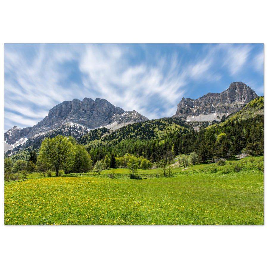
The Gresse plain gives the summit its scale
Layers of alpine grassland and forest establish a complete progression before the limestone mass. Grand Veymont dominates because each layer leads towards it without taking its place.
Photograph: Pierre ThiavilleView the Grand Veymont artwork from GresseEvidence of summit hierarchy
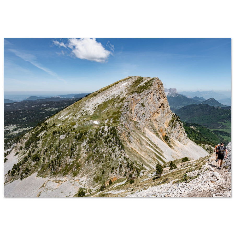
A tighter frame makes the mass carry the image
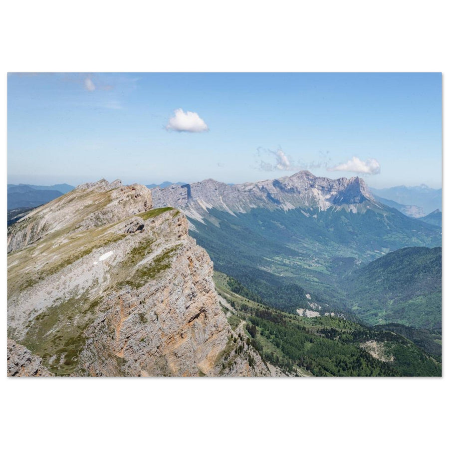
Ridges and slopes act as supporting lines here. The landscape is no longer told through its breadth, but through the convergence of reliefs towards the high point.
Photograph: Pierre ThiavilleView the Grand Veymont artwork in the massif
Subject boundary
Summit or Hauts-Plateaux: what would the frame miss?
Mentally remove Grand Veymont, then the space surrounding it. The element whose absence makes the composition collapse is the real subject.
Lines, layers and light converge towards its mass. The plateau serves its height and could be replaced without changing the main intention.
Space, its breaks and its scale carry the image. The summit provides a limit or landmark among others.
The inhabited landscape and succession of layers tell the story of the Trièves first; Grand Veymont closes and identifies the horizon.
Naming this boundary avoids tightening on a summit that needed space, or widening a landscape whose lines all demanded a destination.
Failures and backup plan
When depth disappears, change the relationship
The backup plan is not to keep the same framing in weaker light, but to choose what remains genuinely readable.
Let the plateau carry the image
Work with a ground line, isolated tree or variation in material if the space still has depth. Otherwise, give up the grand view.
Find a direction or tighten the frame
An empty plateau does not automatically create a sense of scale. Use a path, break in slope or contrast that leads towards the subject.
Reduce the commitment before looking for the image
Unmarked parts of the Reserve can quickly become hard to read. Return to a short, known route rather than turning a photographic hypothesis into a safety constraint.
Terrain and sources
The breadth of the landscape requires independent preparation
Grand Veymont reaches 2,341 m. The official route from Beure crosses the Hauts-Plateaux, passes through Pré Peyret and Plaine de la Queyrie, then reaches an exposed summit; it is classified as very difficult.
Within the Reserve, some areas are unmarked and contain neither roads nor permanent habitation. Fog, available water, navigation, schedules and regulations must be checked for the exact route.
Check before the outing
Composition never authorises improvising the route.
- weather, wind, visibility and access conditions;
- distance, elevation gain and return time;
- navigation, map and water autonomy;
- Reserve boundaries and current rules.
Official sources
Re-read the information corresponding to the route you actually choose.
Continue the project
Change guide when the scale relationship changes
Two neighbouring guides
Continue towards whichever subject now carries the image.
Return to choosing the territory
The Vercors guide compares silhouette, open space, ridges, reculée and plateaus before choosing a new area.