Chartreuse | Photographing the Cirque de Saint-Même
Photographing the Cirque de Saint-Même
First decide which scale tells the story of Saint-Même: the amphitheatre from the meadow, the line of a waterfall from the marked trail, or the Guiers Vif in the woodland.
The site changes geometry completely within a few hundred metres. A wide view requires a hierarchy between meadow, forest and cliffs; a waterfall image depends on the line of water; a stream scene is built with rocks, roots and reflections.
Initial decision
Which version of Saint-Même should carry the image?
Distance from the subject determines the structure before any choice of shutter speed or filter.
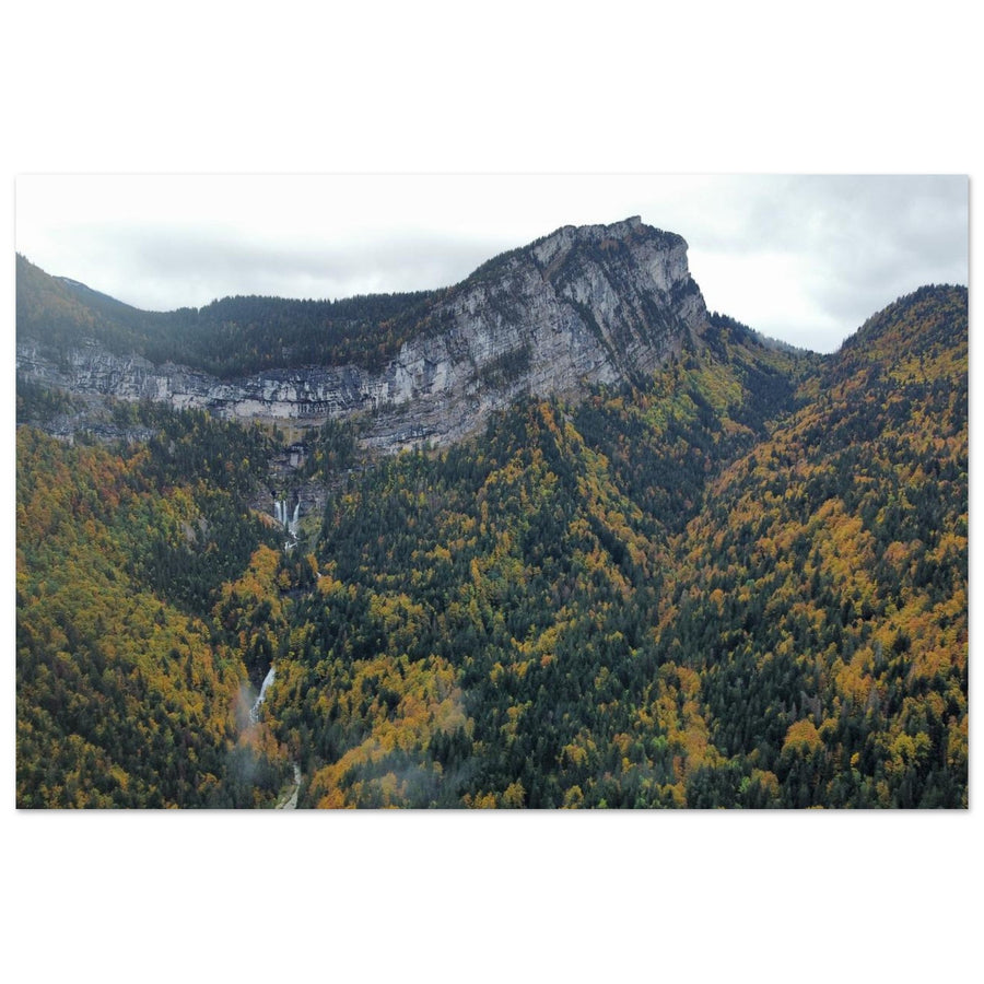
The meadow opens the frame, the forest provides a base and the cliffs close the space.
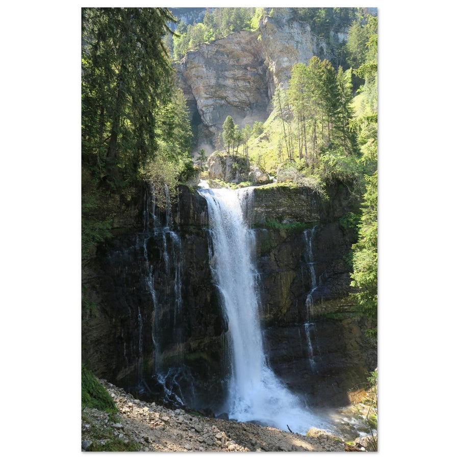
The vertical line of water dominates, with just enough rock and vegetation to identify the place.
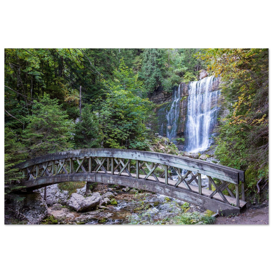
The Guiers Vif guides the eye between rocks; the cirque is told through its damp textures.
Photographic signature
Three visual forms, one site
Saint-Même remains recognisable through the relationship between water, limestone and forest.
The walls close the landscape; the meadow must lead towards them rather than scatter attention.
The waterfall imposes a strong direction that the frame supports without cutting away its surroundings.
The stream, mosses, roots and rocks build a more intimate depth.
Local readings
What position changes
Each authorised route gives access to a different scale of the cirque.

Evidence of the whole
The meadow opens, the cliffs close
This wide reading preserves the three layers needed to understand the site. The meadow provides distance, the forest separates materials and the limestone closes the image.
Photograph: Anquetin MargauxView this artworkComposition implications
What scale changes in the frame
The rendering of water comes after the hierarchy of lines.
Limit the meadow
Give it enough space to lead towards the cirque, but not enough to push the cliffs into the background.
Keep a margin of rock
The white line of water remains primary; walls and vegetation prevent the image from becoming an anonymous waterfall.
Keep the eye moving
Use a curve or diagonal of the Guiers Vif; a longer exposure never fixes a current with no direction.
Subject boundary
Is the image still about Saint-Même?
The place remains identifiable as long as water, limestone and forest maintain a readable relationship.
The enclosure of cliffs organises every other layer.
Its line dominates, but rock and vegetation preserve the site's character.
The water no longer has direction and nothing connects the scene to the Guiers Vif: the image only describes damp forest.

Evidence of an intimate reading
The stream is enough when its direction stays clear
The Guiers Vif guides the eye through rocks and roots. Water and limestone textures preserve the identity of the place without showing the entire amphitheatre.
Photograph: Jef WodniackView this artworkFailures and backup plans
What makes the image fail and what to change
Change scale if light, water flow or visitor numbers contradict the project.
Move to a tighter scene
Do not bypass authorised areas; choose a waterfall or stream reading from the path.
Work with water and textures
If the enclosure loses relief, reduce the frame to a fall, current or alternation of rock and moss.
Give up the monumental waterfall
Look for the lines of the Guiers Vif, short reflections and damp textures instead of a long-exposure thread with little substance.
Stay at the bottom of the Cirque
The short loop and meadow provide alternatives; do not carry a tripod onto unsuitable terrain.
Terrain and sources
Prepare for the real terrain
Two marked routes structure the visit: the bottom-of-the-Cirque walk and the waterfall trail. The latter is steeper, wetter and not recommended in winter. Some crossed plots are privately owned: stay on authorised paths.
In 2026, the Cirque car park has 200 spaces and a fee applies on certain dates between April and September. Periods, prices and saturation conditions can change; check them before setting out.
Check before the outing
Adapt the time and equipment to actual access.
- fee periods and car-park saturation;
- weather, water flow and wet trail conditions;
- opening of marked routes;
- site rules: fires, camping, bivouac and traffic.
Official sources
Consult current site information.
Next links
Continue the project
Useful next projects
Return to limestone forms if you want to leave water and woodland.
Return to choosing the territory
The Chartreuse guide compares water, summits and foothill landscapes.