Mont-Blanc | Photographing Chamonix and the valley
Photography project · Chamonix valley
To photograph Chamonix, do not simply look for a clear summit: build the difference in scale between a living valley and the aiguilles towering above it.
The spectacular background is almost always present, but it is not enough. A shoreline, forest edge, chalet, road or person gives the walls their height and avoids a generic mountain image.
The project is therefore to choose which sign of the valley — water, forest, settlement or glacier — will make the verticality tangible.
Central decision
What relationship between the valley and the aiguilles?
Choose one dominant relationship; the other elements should support it, not compete with it.
A house, quiet street or meadow measures the verticality. The frame works when the settlement remains discreet but immediately identifiable.
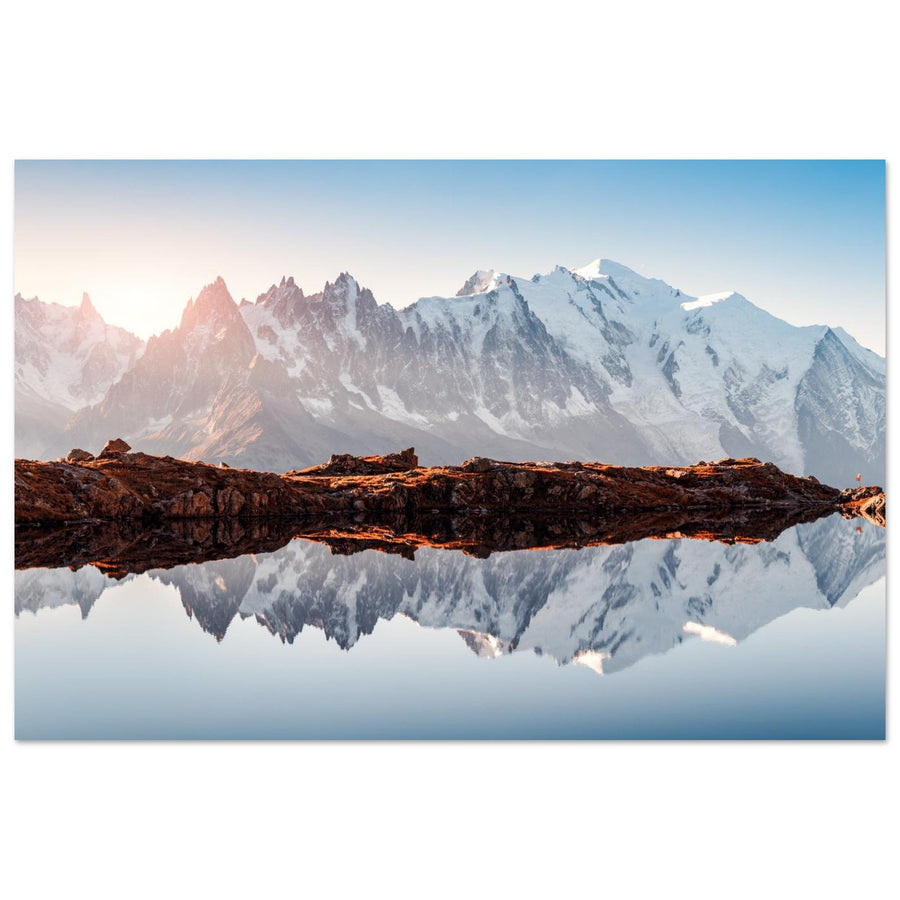
A lake or the Arve opens a less dense foreground. A reflection is useful only when it organises the image instead of repeating the entire background.
From the valley floor, a glacier tongue appears in its forested and urban context. This distance conveys the scale of the relief without turning into a high-mountain report.
Signature of the place
What makes a valley photograph truly Chamonix
Its distinctiveness comes from the abrupt proximity between everyday forms and relief that fills almost the entire sky.
The slopes rise without a long transition. A vertical frame or moderate focal length can preserve this thrust without crushing the foreground.
Forests, meadows, water and buildings provide a stable measure. Their role is geometric: lead towards the aiguilles rather than tell an independent scene.
Low snow, foliage, mist and water flow change the contrast between low and high. The same axis becomes a different project with the season.

The valley floor as foreground
The Arve connects the chalet to the slopes
The blue torrent leads between snow-covered banks. The chalet at Argentière and the trees establish an everyday scale before the valley slopes. This image shows the inhabited setting that the view of the Drus further on does not describe in detail.
Photograph: Robert Harding Video View the Arve at Argentière in the snowCompared positions
What moving through the valley changes
A few kilometres are enough to shift the dominant summit, open a reflection or reveal a glacier.

Evidence from the image
The season gives scale to the Drus
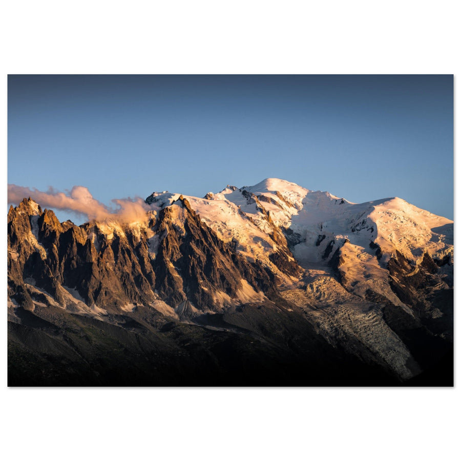
Warm foreground colours separate the valley from the granite and make the vertical rise immediately clear. The subject is more than the summit: it is the contrast between the wooded valley below and the rocky heights.
Photograph: eugen_z View this photograph of the Drus and Aiguille VerteThe subject of the image
When is the image still about Chamonix?
The valley remains the subject when its features shape how the massif is perceived. If the high-altitude site or glacier draws all the attention, the image tells of a different relationship with the mountains.
Settlement, water, forest or valley floor provides scale and directs the composition before the eye reaches the summits.
At Montenvers, the Mer de Glace, moraines and traces of change tell the story of the glacial basin. At Les Bossons, keeping trees or buildings beneath the ice connects the glacier more closely with the valley.
High-altitude architecture, ridges, silhouettes and void dominate the image; the valley appears only as distant depth.
From the opposite mountainside, the Aiguilles Rouges viewpoints place the valley below the massif. A ridge or alpine pasture in the foreground then replaces the streets, riverbanks and meadows of the valley floor.
Useful failures
What makes the image fail and what to change
The valley offers backups within a short distance: change the relationship before changing the whole day.
Use the shore as foreground
Give up symmetry and frame reeds, pebbles or a bank diagonal. Water then keeps its role as calm space.
Move the hierarchy down towards the slopes
Work with openings in the forest, glacier tongues or mist. A partial ridge can be enough if the lower part of the image remains constructed.
Remove visual noise
Move towards a bank, meadow or forest edge and wait for a single human presence. The subject regains a clear relationship with the relief.
Compose with masses rather than details
Expose for highlights, look for a silhouette or wait for a cloud to cut across the slope. Fine textures can become secondary.
Real terrain
Prepare an outing in the valley
The positions described are families of views, not guaranteed spots. Respect property, traffic, other visitors and any local restrictions.
Even on the valley floor, weather, snow, floods, works and transport can change access. Check on the day and keep a simple backup route.
Check before the outing
Check information that can change quickly.
- weather, summit visibility and cloud development;
- path conditions, snow, water flow and works;
- transport schedules, authorised parking and return time;
- local rules and respect for inhabited areas.
Official sources
Use local organisations for access, transport and prevention.
Continue the project
Change subject without losing the thread of the massif
Useful neighbouring guides
Continue with a subject where ice or altitude becomes dominant.
Return to choosing the territory
Compare the valley, high-altitude sites and external viewpoints before choosing your next project.
Explore more views of the valley
The Chamonix collection brings together more photographs of this landscape, moving from the relationships explained here to individual photographers’ interpretations.