Écrins | Photographing the Valgaudemar
Photographing the Valgaudemar valley
The Valgaudemar valley unfolds as a progression: from an inhabited valley to mountain pastures, refuges, and the grand peaks at its head.
A photograph of the valley must capture several stages of this transition. If only a single peak remains, the landscape is no longer the subject.
Initial Decision
How deep into the valley?
Choose where the progression begins and ends.
Hamlet, meadow, or road opens the view before the slopes and the rocky bottom.
The trail, the stream, or a series of plateaus make the ascent visible.
The refuges and the rocky cirque conclude the progression while maintaining a path from below.
Photographic signature
What sustains the valley's narrative
The Valgaudemar valley is recognized through the sequence of its planes, not by an isolated peak.
Road, stream, or slope line leads towards the background without leaving the frame.
Habitat, mountain pasture, and mineral landscapes must be distinct for the transition to be felt.
Sirac, Rouies, or a glacial cirque can close the view, but without erasing the journey that leads to them.
Sectors and positions
What changes as one advances through the valley
Each sector reduces the inhabited context slightly and increases the proportion of high mountain scenery.
Subject boundary
Does the image still tell the story of the Valgaudemar valley?
At least two connected stages are needed to preserve a valley narrative.
A direction connects the foreground, an intermediate level, and an identifiable background.
The peak dominates the hierarchy, and signs of progression have disappeared.
Pastoral life, refuge, or meadow carries the narrative; the high mountains are now just context.
Boundary Proof
When Sirac replaces the valley
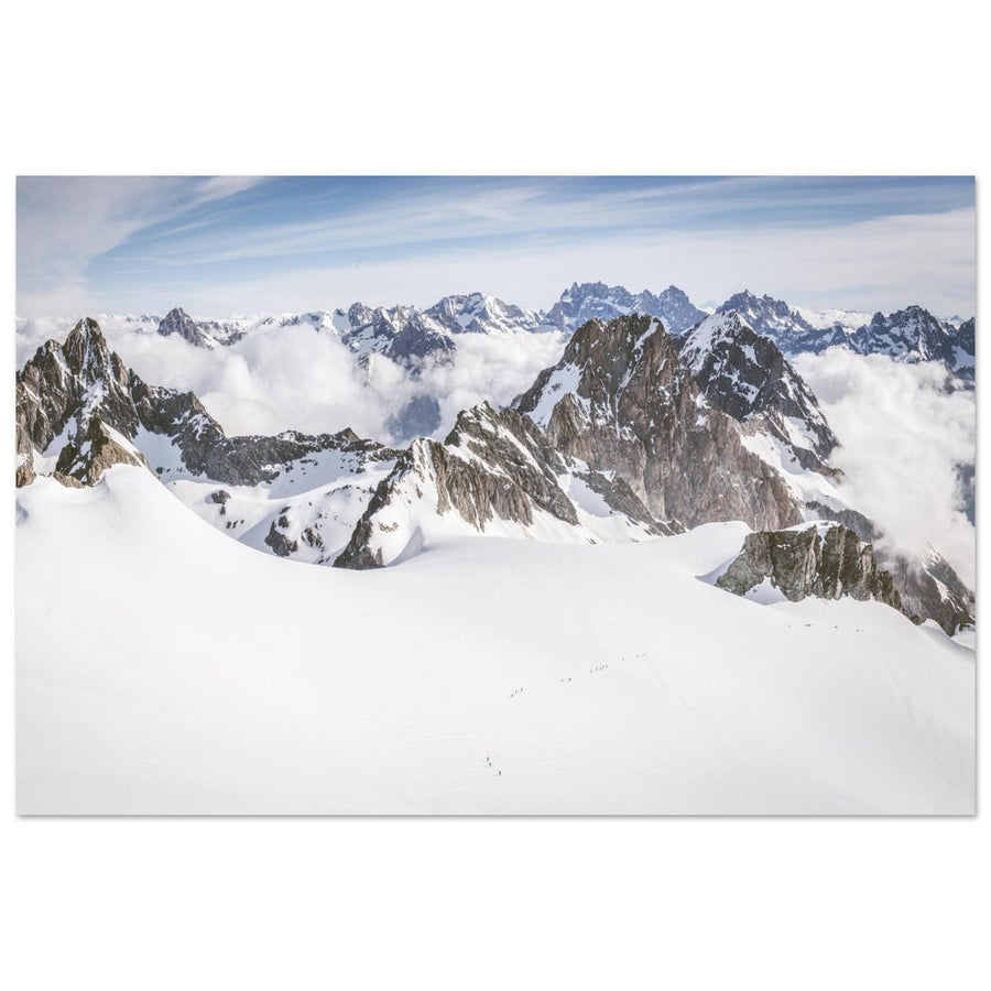
The ridges emerge above the clouds without any inhabited or pastoral sequence: the image is strong, but its subject is now the high mountains.
Photography: Pierre ThiavilleView the artwork
Failures and backup plans
What breaks the progression, and what to change
A cloudy sky doesn't prevent the narrative if the planes remain connected.
Shorten the progression
End the narrative at a plateau, a waterfall, or a visible refuge rather than a missing peak.
Choose a guiding line
Road, stream, or edge of a meadow should connect the levels instead of juxtaposing them.
Change sector
Stay in a safe, confirmed area and rebuild the narrative with available planes; do not cross a damaged structure to preserve a planned framing.
Terrain and sources
Preparing the actual terrain
After bad weather, footbridges and trails can change quickly. Dated alerts serve to trigger a fresh verification, never to guarantee a future situation.
To check before the outing
Verify information as of the travel date.
- condition of footbridges and trails;
- access, refuges, and retreat options;
- weather, storms, and return times.
Official sources
Itineraries and disruptions in the area.
Continue
Continuing the project
Two useful follow-up topics
Compare another constrained valley and a peak that takes priority.
Return to massif selection
Compare all seven projects before changing subject.